Transport Functions
Multimodal
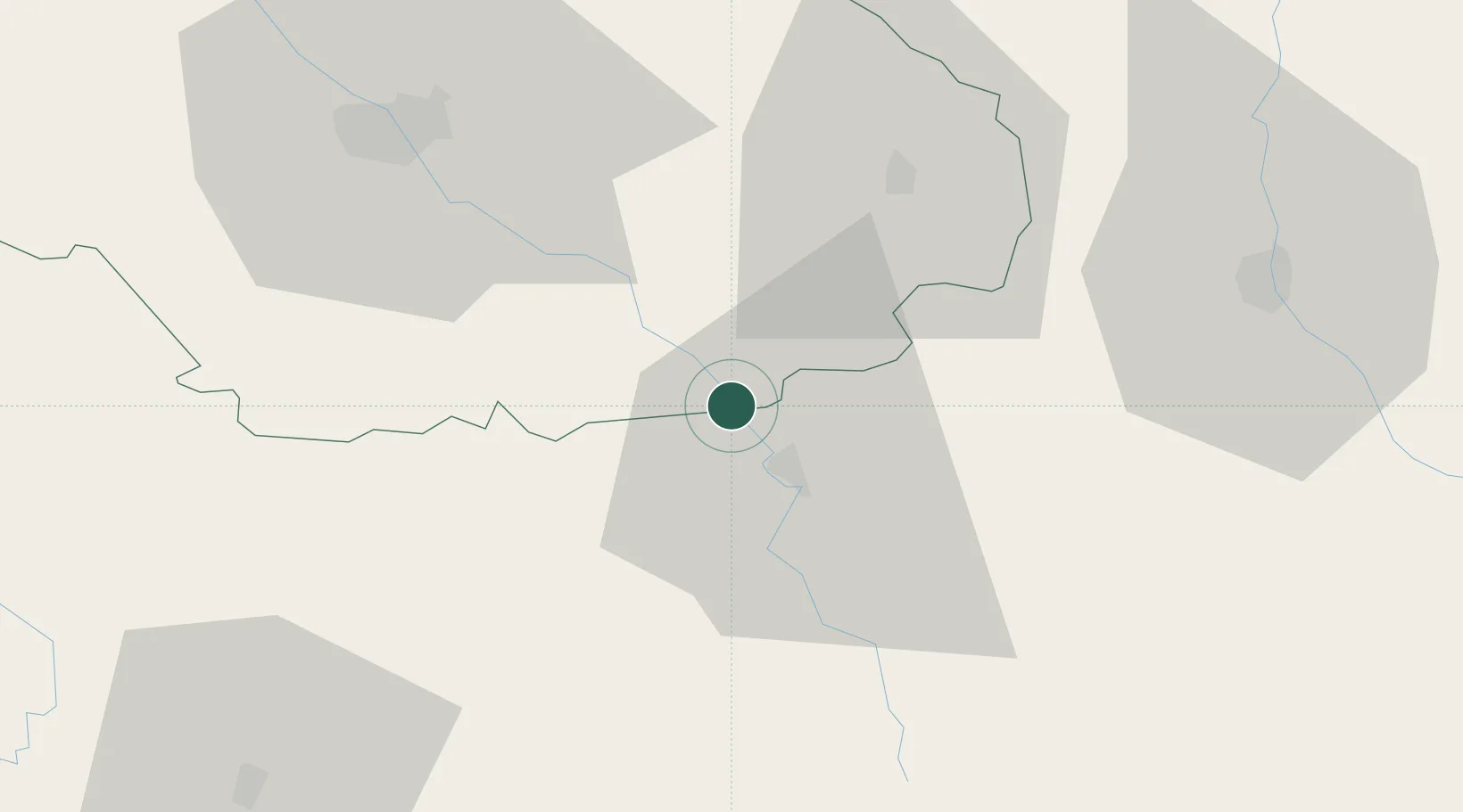
Hub Profile
Place type
Populated place
Region
Bourgogne
Population
145
Time zone
Europe/Paris
Elevation
190 m
Location
Nearby Logistics Neighbours
Cities
- 1Grancey-sur-Ource7 km
- 2Courteron8 km
- 3Gyé-sur-Seine9 km
- 4Les Riceys10 km
- 5Massingy11 km
Ports
- 1Port Of Rouen301 km
- 2Bruxelles323 km
- 3Saint-Valery-Sur-Somme324 km
- 4Le Treport327 km
- 5Dieppe332 km
Airports
Trade Zones
DatabookThe Record of Consolidated Knowledge
France beyond logistics?