Transport Functions
Multimodal
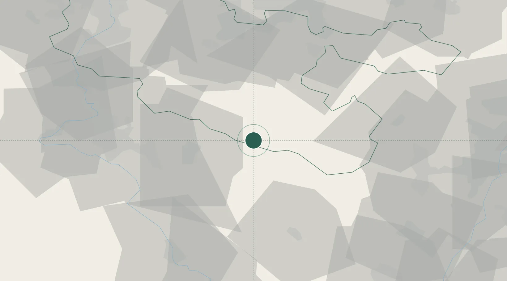
Hub Profile
Place type
Populated place
Region
Grand Est
Population
606
Time zone
Europe/Paris
Elevation
240 m
Location
Nearby Logistics Neighbours
Cities
- 1Moncourt12 km
- 2Hartzviller22 km
- 3Troisfontaines25 km
- 4Bertrichamps26 km
- 5Lachapelle28 km
Airports
Trade Zones
- 1ZFU Maxéville, Laxou, et de Nancy46 km
- 2ZFU La Cité Behren-lès-Forbach57 km
- 3ZFU Metz67 km
- 4ZFU Hautepierre67 km
- 5ZFU Woippy-Metz71 km
DatabookThe Record of Consolidated Knowledge
France beyond logistics?