Transport Functions
Multimodal
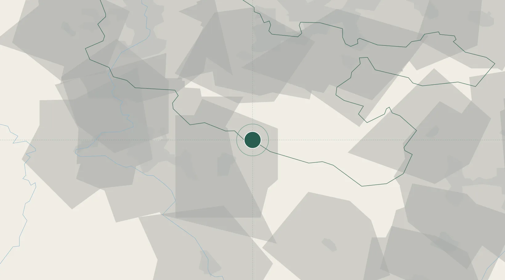
Hub Profile
Place type
Populated place
Region
Grand Est
Population
77
Time zone
Europe/Paris
Elevation
252 m
Location
Nearby Logistics Neighbours
Cities
- 1Moussey12 km
- 2Dombasle-sur-Meurthe23 km
- 3Varangéville25 km
- 4Blainville-sur-l'Eau25 km
- 5Rosières-aux-Salines26 km
Airports
Trade Zones
- 1ZFU Maxéville, Laxou, et de Nancy35 km
- 2ZFU La Cité Behren-lès-Forbach55 km
- 3ZFU Metz55 km
- 4ZFU Woippy-Metz60 km
- 5ZFU Hautepierre79 km
DatabookThe Record of Consolidated Knowledge
France beyond logistics?