Transport Functions
Rail
Road
Hub Profile
Place type
Populated place
Region
Grand Est
Time zone
Europe/Paris
Elevation
284 m
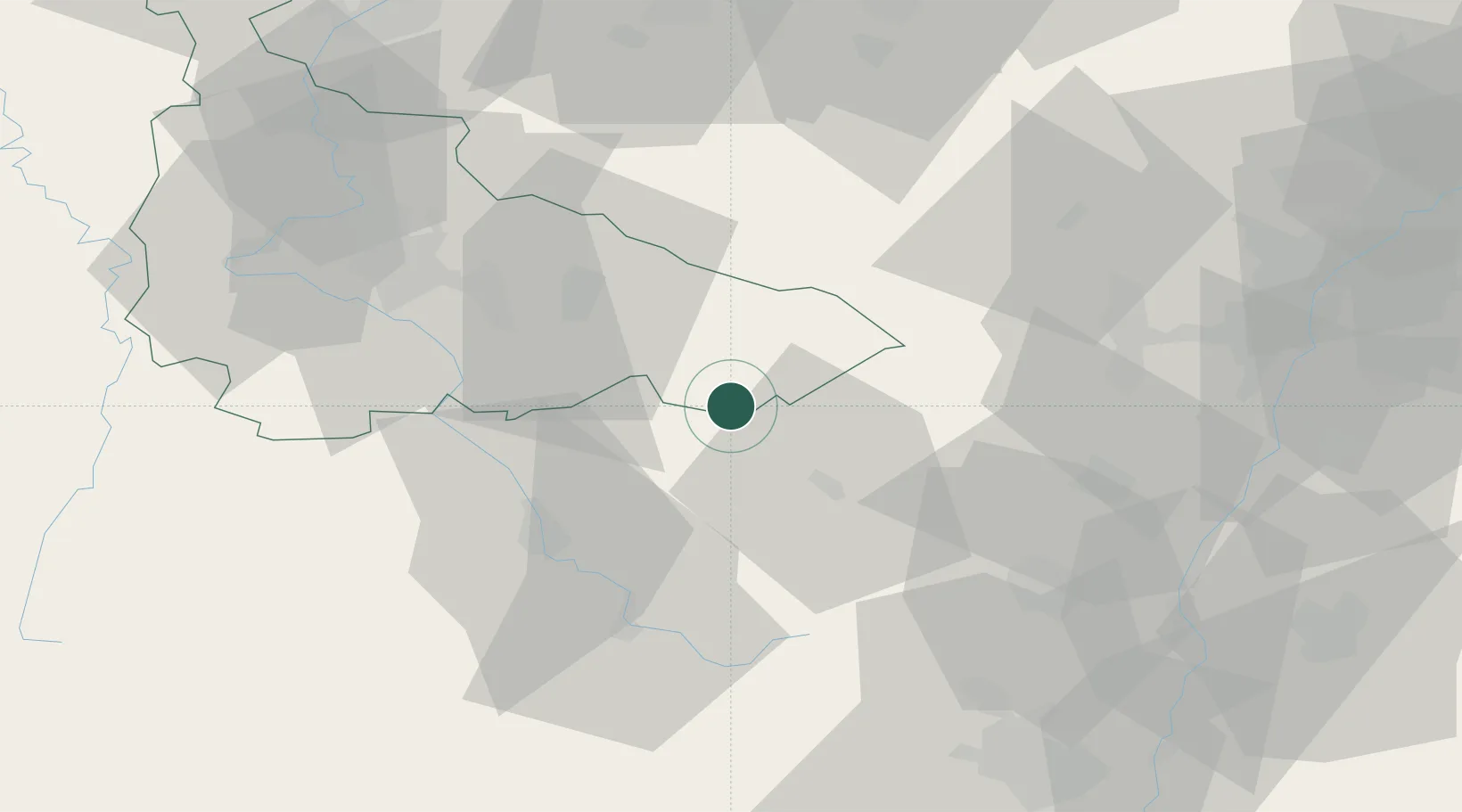
Location
Nearby Logistics Neighbours
Cities
- 1Bertrichamps2 km
- 2Saint-Dié19 km
- 3Saulcy-sur-Meurthe25 km
- 4Laval-sur-Vologne25 km
- 5Domèvre-sur-Durbion28 km
Airports
- 1Phalsbourg-Bourscheid Air Base50 km
- 2Nancy-Essey Airport51 km
- 3Épinal Mirecourt Airport54 km
- 4Colmar Houssen airport55 km
- 5Strasbourg Airport64 km
Trade Zones
- 1ZFU Maxéville, Laxou, et de Nancy56 km
- 2ZFU Hautepierre70 km
- 3ZFU Neuhof74 km
- 4ZFU La Cité Behren-lès-Forbach84 km
- 5ZFU Mulhouse85 km
DatabookThe Record of Consolidated Knowledge
France beyond logistics?