Transport Functions
Port
Multimodal
Hub Profile
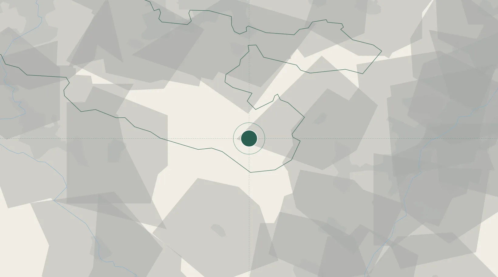
Place type
Populated place
Region
Grand Est
Population
930
Time zone
Europe/Paris
Elevation
286 m
Location
Nearby Logistics Neighbours
Cities
- 1Troisfontaines2 km
- 2Lutzelbourg14 km
- 3Moussey22 km
- 4Saverne22 km
- 5Barembach23 km
Airports
- 1Phalsbourg-Bourscheid Air Base14 km
- 2Strasbourg Airport43 km
- 3Saarbrücken Airport61 km
- 4Nancy-Essey Airport63 km
- 5Lahr Airport64 km
Trade Zones
- 1ZFU Hautepierre46 km
- 2ZFU Neuhof52 km
- 3ZFU La Cité Behren-lès-Forbach57 km
- 4ZFU Maxéville, Laxou, et de Nancy68 km
- 5ZFU Metz83 km
DatabookThe Record of Consolidated Knowledge
France beyond logistics?