Medium airport · France

Nancy-Essey AirportLFSN
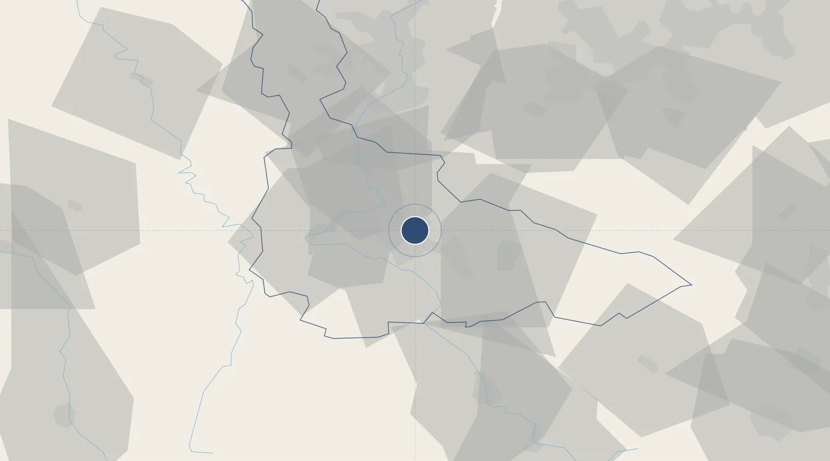
48.6921°, 6.2305°
5,249 ft
Longest runway
1
Runways
751 ft
Elevation

Runway & Layout

Nancy-Essey Airport runway & taxiway layout
Runway & taxiway layout — OpenStreetMap (ODbL) / OurAirports

Radio Frequencies

APP
127.25 MHz
LORRAINE APP
AFIS
119.6 MHz
OurAirports

Runways · 1

RunwayDimensions SurfaceTrue headingLit
03/21 5,249 × 131ft Asphalt 029°
OurAirports

Airport Specifications

IATA code
ENC
OurAirports
ICAO code
LFSN
OurAirports
Airport class
Medium airport
OurAirports
Scheduled service
No
OurAirports
Runway surface
Asphalt
OurAirports
Served city
Tomblaine, Meurthe-et-Moselle
OurAirports

Location

Location of LFSN
Natural Earth 10m (public domain) · Meurthe-et-Moselle · LFSN · 48.69, 6.23GoogleOSMYandex

Nearby Logistics Neighbours

Airports
  1. 1Nancy-Ochey (BA 133) Air Base24 km
  2. 2Metz-Nancy-Lorraine Airport32 km
  3. 3Épinal Mirecourt Airport43 km
  4. 4Phalsbourg-Bourscheid Air Base72 km
  5. 5Lieutenant Étienne Mantoux Air Base72 km
Nearest neighbours — logibook spatial index (haversine) over the source coordinates
Cities
  1. 1Nancy4 km
  2. 2Eulmont5 km
  3. 3Heillecourt5 km
  4. 4Houdemont6 km
  5. 5Champigneulles7 km
Nearest neighbours — logibook spatial index (haversine) over the source coordinates
Ports
  1. 1Bruxelles277 km
  2. 2Antwerpen310 km
  3. 3Ghent319 km
  4. 4Terneuzen342 km
  5. 5Hansweert346 km
Nearest neighbours — logibook spatial index (haversine) over the source coordinates
Trade Zones
  1. 1ZFU Maxéville, Laxou, et de Nancy5 km
  2. 2ZFU Metz46 km
  3. 3ZFU Woippy-Metz51 km
  4. 4ZFU La Cité Behren-lès-Forbach73 km
  5. 5ZFU Saint-Dizier100 km
Nearest neighbours — logibook spatial index (haversine) over the source coordinates
DatabookThe Record of Consolidated Knowledge
France beyond logistics?
Browse databook

All Sources

AirportsOurAirports
Public domain
Portsthe NGA World Port Index
Public domain (US gov)
LocationsUN/LOCODE
UN/LOCODE — free
Trade Zonesthe World Bank SEZ database
CC BY 4.0
Trade ZonesOpen Zone Map
CC BY
InfrastructureOpenStreetMap
ODbL 1.0
← France airports