Transport Functions
Rail
Road
Hub Profile
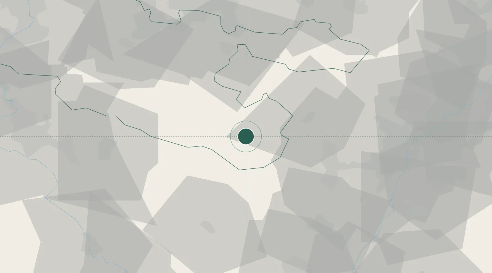
Place type
Populated place
Region
Grand Est
Time zone
Europe/Paris
Elevation
292 m
Location
Nearby Logistics Neighbours
Cities
- 1Hartzviller2 km
- 2Lutzelbourg12 km
- 3Saverne20 km
- 4Monswiller22 km
- 5Barembach22 km
Airports
- 1Phalsbourg-Bourscheid Air Base13 km
- 2Strasbourg Airport40 km
- 3Saarbrücken Airport61 km
- 4Lahr Airport62 km
- 5Colmar Houssen airport64 km
Trade Zones
- 1ZFU Hautepierre43 km
- 2ZFU Neuhof50 km
- 3ZFU La Cité Behren-lès-Forbach57 km
- 4ZFU Maxéville, Laxou, et de Nancy70 km
- 5ZFU Metz85 km
DatabookThe Record of Consolidated Knowledge
France beyond logistics?