Medium airport · France

Metz-Nancy-Lorraine AirportLFJL
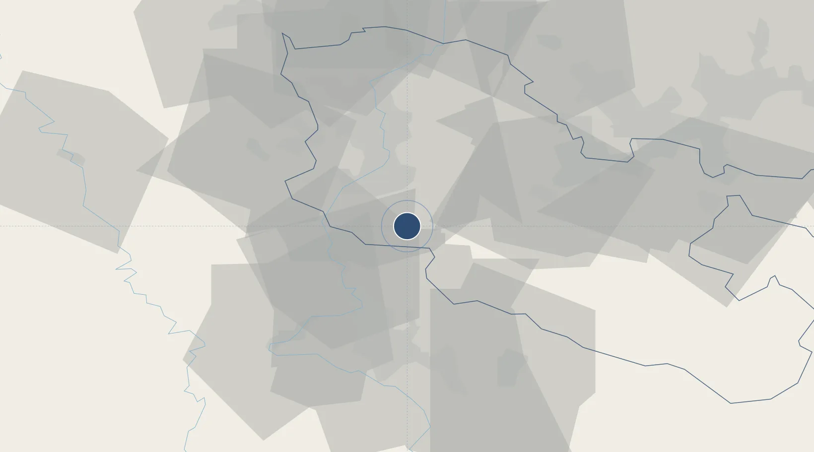
48.9821°, 6.2513°
8,202 ft
Longest runway
1
Runways
870 ft
Elevation

Runway & Layout

Metz-Nancy-Lorraine Airport runway & taxiway layout
Runway & taxiway layout — OpenStreetMap (ODbL) / OurAirports

Radio Frequencies

ATIS
136.575 MHz
LORRAINE ATIS
TWR
118.2 MHz
LORRAINE TWR
GND
121.7 MHz
LORRAINE GND
APP
119.125 MHz
LORRAINE APP
OurAirports

Runways · 1

RunwayDimensions SurfaceTrue headingLit
04/22 8,202 × 148ft Asphalt 039°
OurAirports

Airport Specifications

IATA code
ETZ
OurAirports
ICAO code
LFJL
OurAirports
Airport class
Medium airport
OurAirports
Scheduled service
Yes
OurAirports
Runway surface
Asphalt
OurAirports
Served city
Goin
OurAirports

Location

Location of LFJL
Natural Earth 10m (public domain) · Moselle · LFJL · 48.98, 6.25GoogleOSMYandex

Nearby Logistics Neighbours

Airports
  1. 1Nancy-Essey Airport32 km
  2. 2Nancy-Ochey (BA 133) Air Base49 km
  3. 3Lieutenant Étienne Mantoux Air Base50 km
  4. 4Verdun-Le Rozelier Airfield59 km
  5. 5Saarbrücken Airport68 km
Nearest neighbours — logibook spatial index (haversine) over the source coordinates
Cities
  1. 1Marly11 km
  2. 2Peltre11 km
  3. 3Augny14 km
  4. 4Sablon14 km
  5. 5Montigny-lès-Metz15 km
Nearest neighbours — logibook spatial index (haversine) over the source coordinates
Ports
  1. 1Bruxelles250 km
  2. 2Antwerpen281 km
  3. 3Ghent293 km
  4. 4Terneuzen315 km
  5. 5Hansweert318 km
Nearest neighbours — logibook spatial index (haversine) over the source coordinates
Trade Zones
  1. 1ZFU Metz15 km
  2. 2ZFU Woippy-Metz20 km
  3. 3ZFU Maxéville, Laxou, et de Nancy31 km
  4. 4ZFU La Cité Behren-lès-Forbach53 km
  5. 5Luxembourg Free Port73 km
Nearest neighbours — logibook spatial index (haversine) over the source coordinates
DatabookThe Record of Consolidated Knowledge
France beyond logistics?
Browse databook

All Sources

AirportsOurAirports
Public domain
Portsthe NGA World Port Index
Public domain (US gov)
LocationsUN/LOCODE
UN/LOCODE — free
Trade Zonesthe World Bank SEZ database
CC BY 4.0
Trade ZonesOpen Zone Map
CC BY
InfrastructureOpenStreetMap
ODbL 1.0
← France airports