Transport Functions
Rail
Road
Hub Profile
Place type
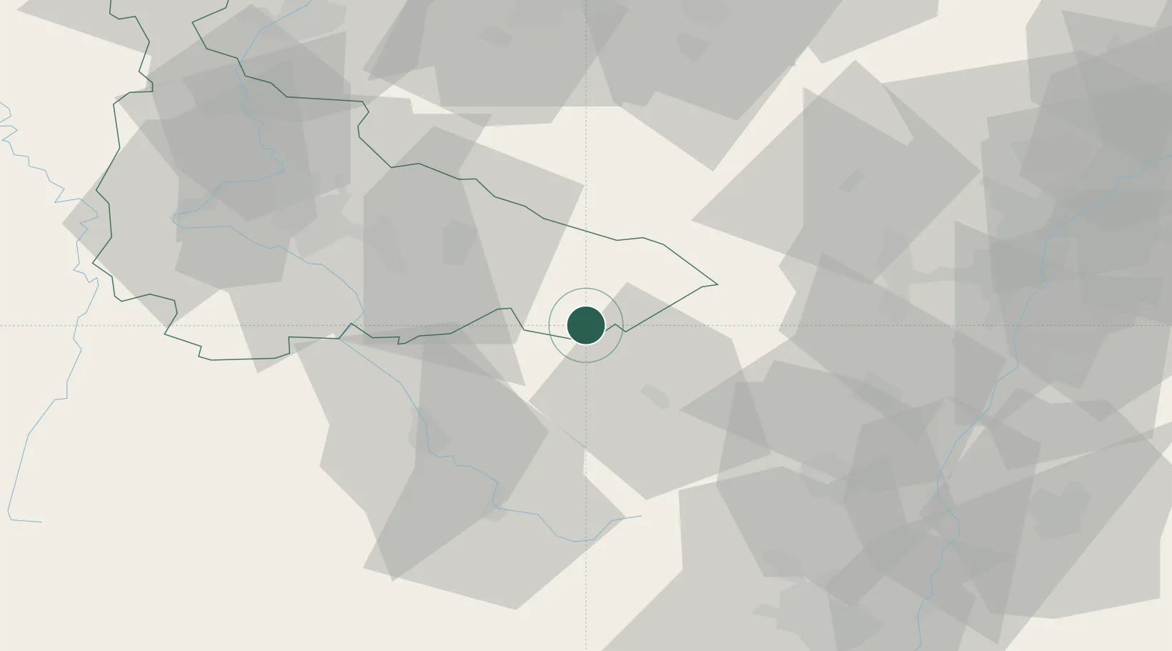
Populated place
Region
Grand Est
Time zone
Europe/Paris
Elevation
277 m
Location
Nearby Logistics Neighbours
Cities
- 1Lachapelle2 km
- 2Saint-Dié20 km
- 3Saulcy-sur-Meurthe25 km
- 4Moussey26 km
- 5Laval-sur-Vologne27 km
Airports
- 1Phalsbourg-Bourscheid Air Base47 km
- 2Nancy-Essey Airport51 km
- 3Colmar Houssen airport55 km
- 4Épinal Mirecourt Airport55 km
- 5Strasbourg Airport62 km
Trade Zones
- 1ZFU Maxéville, Laxou, et de Nancy56 km
- 2ZFU Hautepierre68 km
- 3ZFU Neuhof72 km
- 4ZFU La Cité Behren-lès-Forbach82 km
- 5ZFU Mulhouse86 km
DatabookThe Record of Consolidated Knowledge
France beyond logistics?