Transport Functions
Multimodal
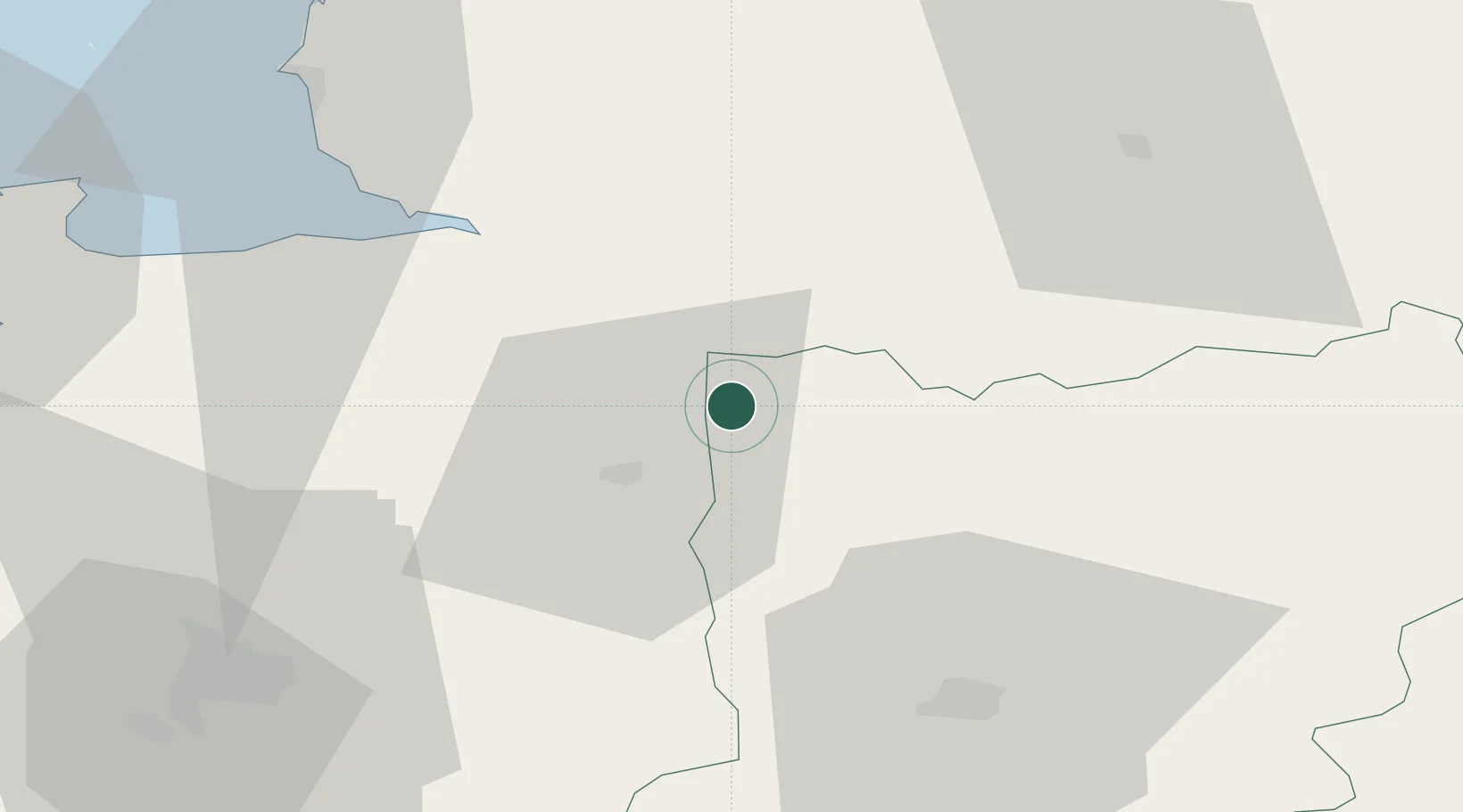
Hub Profile
Place type
Populated place
Region
Pays de la Loire
Population
941
Time zone
Europe/Paris
Elevation
164 m
Location
Nearby Logistics Neighbours
Cities
- 1Landéan8 km
- 2Beaucé14 km
- 3Fougères14 km
- 4Saint-Martin-de-Landelles16 km
- 5Gorron17 km
Ports
- 1Granville60 km
- 2Saint-Malo75 km
- 3Port De Caen98 km
- 4Ouistreham111 km
- 5Saint Helier Harbour114 km
Airports
Trade Zones
- 1ZFU Alençon83 km
- 2ZFU La Guérinière, La Grâce de Dieu96 km
- 3ZFU Hérouville-Saint-Clair100 km
- 4ZFU Le Mans101 km
- 5ZFU Angers111 km
DatabookThe Record of Consolidated Knowledge
France beyond logistics?