UN/LOCODE hub · France
FR55M

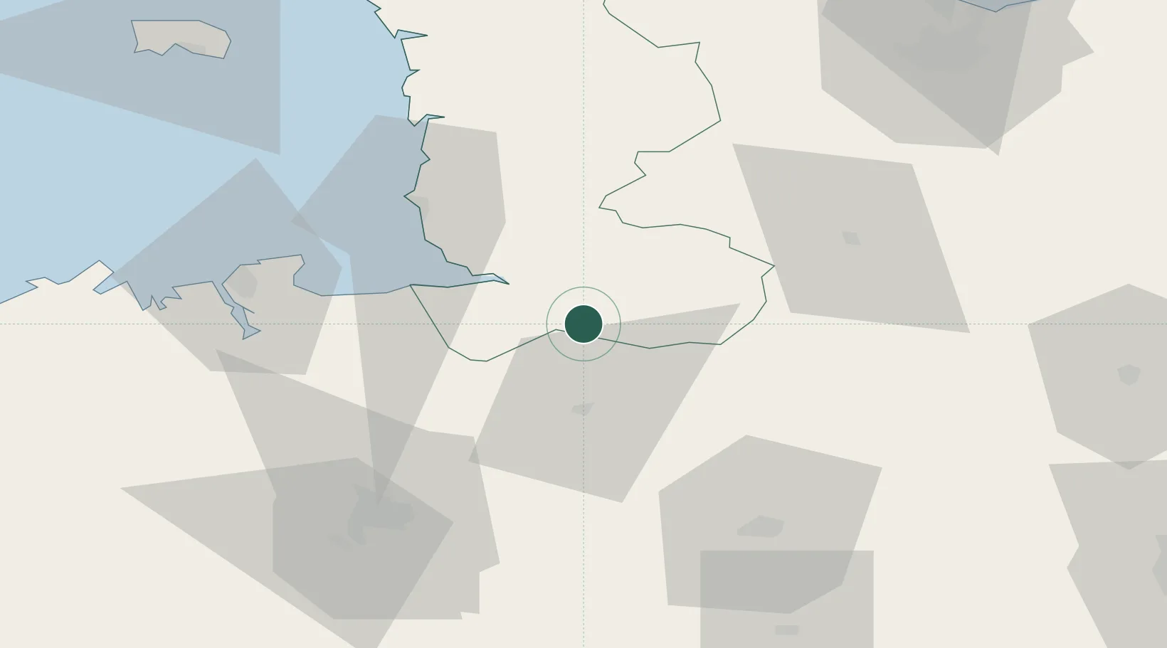
Saint-Martin-de-Landelles

48.5500°, -1.1833°
1,260
Population
1
Transport functions

Transport Functions

Multimodal
UN/LOCODE

Hub Profile

Place type
Populated place
GeoNames
Region
Normandy
GeoNames
Population
1,260
GeoNames
Time zone
Europe/Paris
GeoNames
Elevation
177 m
GeoNames

Location

Location of FR55M
Natural Earth 10m (public domain) · Normandy · FR55M · 48.55, -1.18GoogleOSMYandex

Nearby Logistics Neighbours

Cities
  1. 1Parigny11 km
  2. 2Landéan15 km
  3. 3Pontmain16 km
  4. 4Le Val-Saint-Père18 km
  5. 5Juvigny-le-Tertre19 km
Nearest neighbours — logibook spatial index (haversine) over the source coordinates
Ports
  1. 1Granville44 km
  2. 2Saint-Malo62 km
  3. 3Port De Caen93 km
  4. 4Saint Helier Harbour98 km
  5. 5Ouistreham106 km
Nearest neighbours — logibook spatial index (haversine) over the source coordinates
Airports
  1. 1Granville Airport46 km
  2. 2Dinard Pleurtuit Saint-Malo airport66 km
  3. 3Laval-Entrammes Airport66 km
  4. 4Rennes-Saint-Jacques Airport67 km
  5. 5Caen Carpiquet airport88 km
Nearest neighbours — logibook spatial index (haversine) over the source coordinates
Trade Zones
  1. 1ZFU La Guérinière, La Grâce de Dieu91 km
  2. 2ZFU Alençon94 km
  3. 3ZFU Hérouville-Saint-Clair95 km
  4. 4ZFU Le Mans116 km
  5. 5ZFU Cherbourg-Octeville126 km
Nearest neighbours — logibook spatial index (haversine) over the source coordinates
DatabookThe Record of Consolidated Knowledge
France beyond logistics?
Browse databook

All Sources

LocationsUN/LOCODE
UN/LOCODE — free
LocationsGeoNames
CC BY 4.0
Portsthe NGA World Port Index
Public domain (US gov)
AirportsOurAirports
Public domain
Trade Zonesthe World Bank SEZ database
CC BY 4.0
Trade ZonesOpen Zone Map
CC BY
← France locations