Economic Revitalization Project · France
ZFU Angers Active
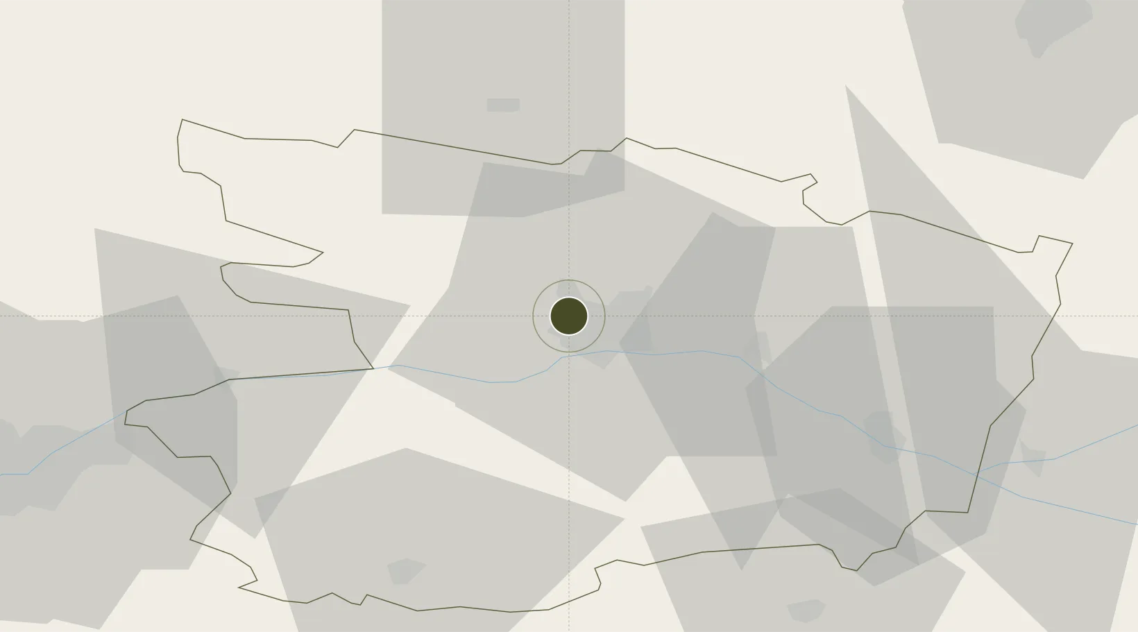
47.4819°, -0.5980°
180 ha
Zone area
79.4 km
Nearest port
23.2 km
Nearest airport
Gateway access
Zone profile
Zone type
Economic Revitalization Project
Region
Maine-et-Loire
Status
Active
Management
Public
Operator
Angers
Legal framework
Décret no 65-939 du 8 novembre 1965, Décret du 9 Octobre 2008
Location
Nearby Logistics Neighbours
Ports
- 1Nantes79 km
- 2Donges112 km
- 3Montoir117 km
- 4St Nazaire123 km
- 5Les Sables D' Olonne142 km
Airports
- 1Angers Marcé airport23 km
- 2Laval-Entrammes Airport62 km
- 3Le Mans-Arnage Airport79 km
- 4Nantes Atlantique Airport85 km
- 5Tours Val de Loire Airport100 km
Cities
- 1Beaucouzé3 km
- 2Angers4 km
- 3Gare Saint-Laud/Angers4 km
- 4Montreuil-Juigné6 km
- 5Écouflant8 km
Trade Zones
- 1ZFU Le Mans78 km
- 2ZFU Nantes et Saint-Herblain88 km
- 3ZFU Alençon117 km
- 4ZFU Saint-Nazaire128 km
- 5ZFU Blois141 km
DatabookThe Record of Consolidated Knowledge
France beyond logistics?