Medium airport · France
Rennes-Saint-Jacques AirportLFRN
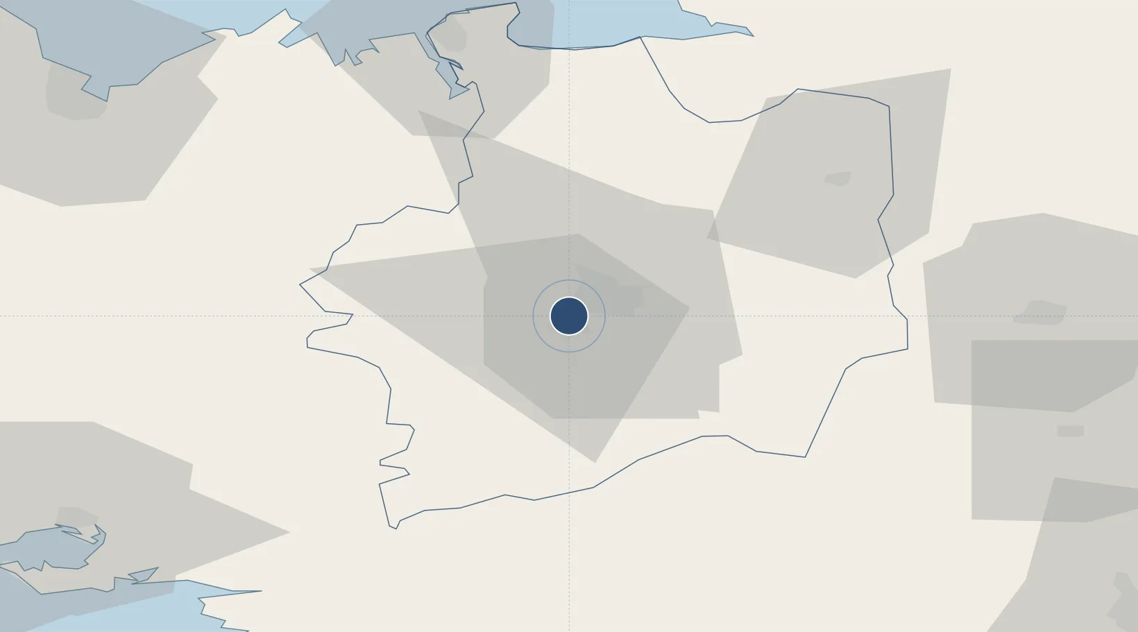
48.0695°, -1.7348°
6,890 ft
Longest runway
2
Runways
124 ft
Elevation
Runway & Layout

Radio Frequencies
ATIS
136.4 MHz
RENNES ATIS
TWR
120.5 MHz
RENNES TWR
GND
121.725 MHz
RENNES GND
APP
124.9 MHz
RENNES APP
APP
134 MHz
RENNES APP
Navaids
REN VOR-DME Rennes 109.25 MHz
Runways · 2
| Runway | Dimensions | Surface | True heading | Lit |
|---|---|---|---|---|
| 10/28 | 6,890 × 148ft | Asphalt | 101° | ✓ |
| 14/32 | 2,788 × 98ft | Asphalt | 142° | — |
Airport Specifications
IATA code
RNS
ICAO code
LFRN
Airport class
Medium airport
Scheduled service
Yes
Runway surface
Asphalt
Served city
Saint-Jacques-de-la-Lande, Ille-et-Vilaine
Location
Nearby Logistics Neighbours
Airports
Cities
- 1Noyal-Châtillon-sur-Seiche6 km
- 2Rennes7 km
- 3Pont-Réan9 km
- 4Chantepie9 km
- 5Montgermont9 km
Ports
- 1Saint-Malo68 km
- 2Granville86 km
- 3Donges89 km
- 4Montoir91 km
- 5Le Legue91 km
Trade Zones
- 1ZFU Nantes et Saint-Herblain94 km
- 2ZFU Saint-Nazaire97 km
- 3ZFU Angers107 km
- 4ZFU Le Mans139 km
- 5ZFU Alençon140 km
DatabookThe Record of Consolidated Knowledge
France beyond logistics?