Economic Revitalization Project · France
ZFU Le Mans Active
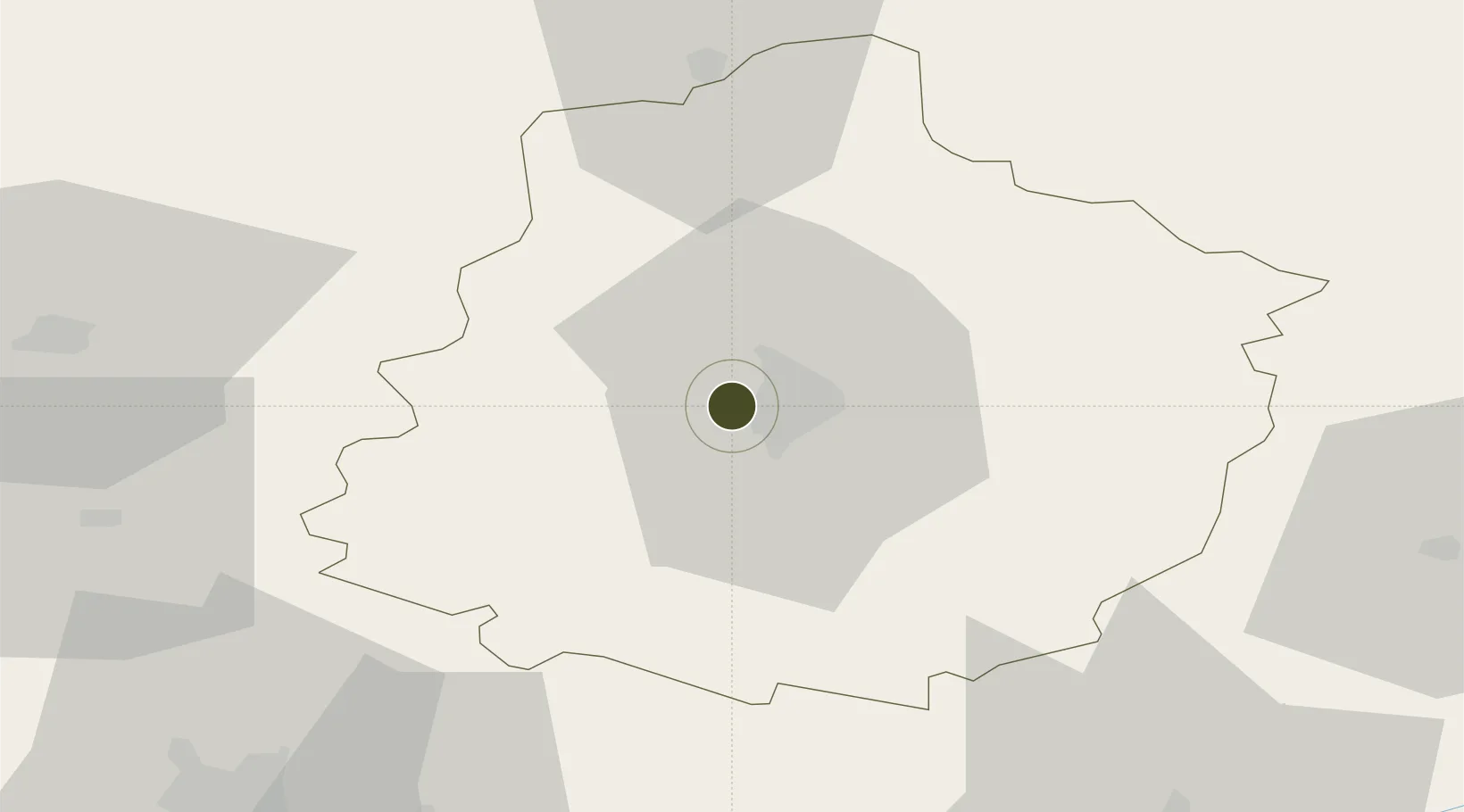
47.9819°, 0.1255°
117 ha
Zone area
138.1 km
Nearest port
6.8 km
Nearest airport
Gateway access
Zone profile
Zone type
Economic Revitalization Project
Region
Sarthe
Status
Active
Management
Public
Operator
Ville du Mans
Legal framework
Décret no 65-939 du 8 novembre 1965, Décret du 9 Octobre 2008
Location
Nearby Logistics Neighbours
Ports
- 1Port De Caen138 km
- 2Ouistreham147 km
- 3Nantes154 km
- 4Deauville154 km
- 5Granville159 km
Airports
- 1Le Mans-Arnage Airport7 km
- 2Angers Marcé airport57 km
- 3Laval-Entrammes Airport65 km
- 4Tours Val de Loire Airport76 km
- 5Châteaudun Airfield94 km
Cities
- 1Le Mans6 km
- 2Moncé-en-Belin11 km
- 3Brains-sur-Gée12 km
- 4Torce-Viviers-en-Charnie15 km
- 5Bernay17 km
Trade Zones
- 1ZFU Alençon50 km
- 2ZFU Angers78 km
- 3ZFU Blois96 km
- 4ZFU Dreux et Sainte-Gemme-Moronval126 km
- 5ZFU Orléans129 km
DatabookThe Record of Consolidated Knowledge
France beyond logistics?