Transport Functions
Multimodal
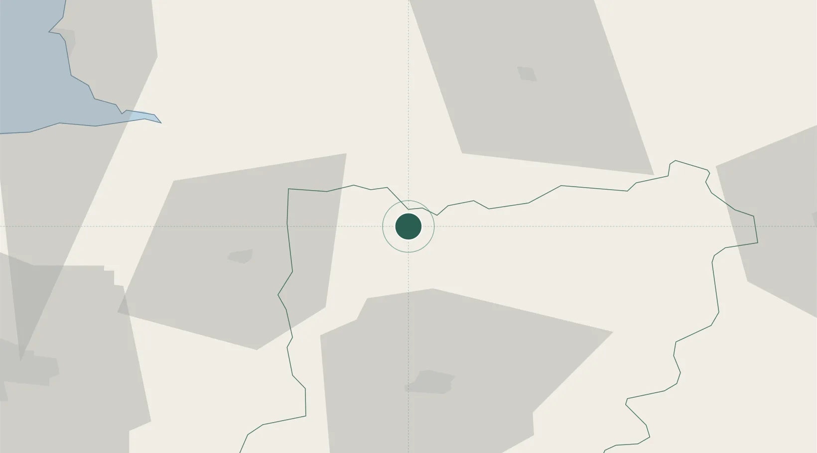
Hub Profile
Place type
Populated place
Region
Pays de la Loire
Population
3,040
Time zone
Europe/Paris
Elevation
172 m
Location
Nearby Logistics Neighbours
Cities
- 1Torchamp17 km
- 2Pontmain17 km
- 3Barenton20 km
- 4Saint-Georges-de-Rouelley21 km
- 5Beulin22 km
Ports
- 1Granville74 km
- 2Port De Caen92 km
- 3Saint-Malo92 km
- 4Ouistreham105 km
- 5Deauville124 km
Airports
- 1Laval-Entrammes Airport43 km
- 2Granville Airport76 km
- 3Rennes-Saint-Jacques Airport78 km
- 4Caen Carpiquet airport89 km
- 5Le Mans-Arnage Airport92 km
Trade Zones
- 1ZFU Alençon66 km
- 2ZFU Le Mans85 km
- 3ZFU La Guérinière, La Grâce de Dieu91 km
- 4ZFU Hérouville-Saint-Clair94 km
- 5ZFU Angers105 km
DatabookThe Record of Consolidated Knowledge
France beyond logistics?