Transport Functions
Rail
Road
Hub Profile
Place type
District seat
Region
Brittany
Population
23,719
Time zone
Europe/Paris
Elevation
115 m
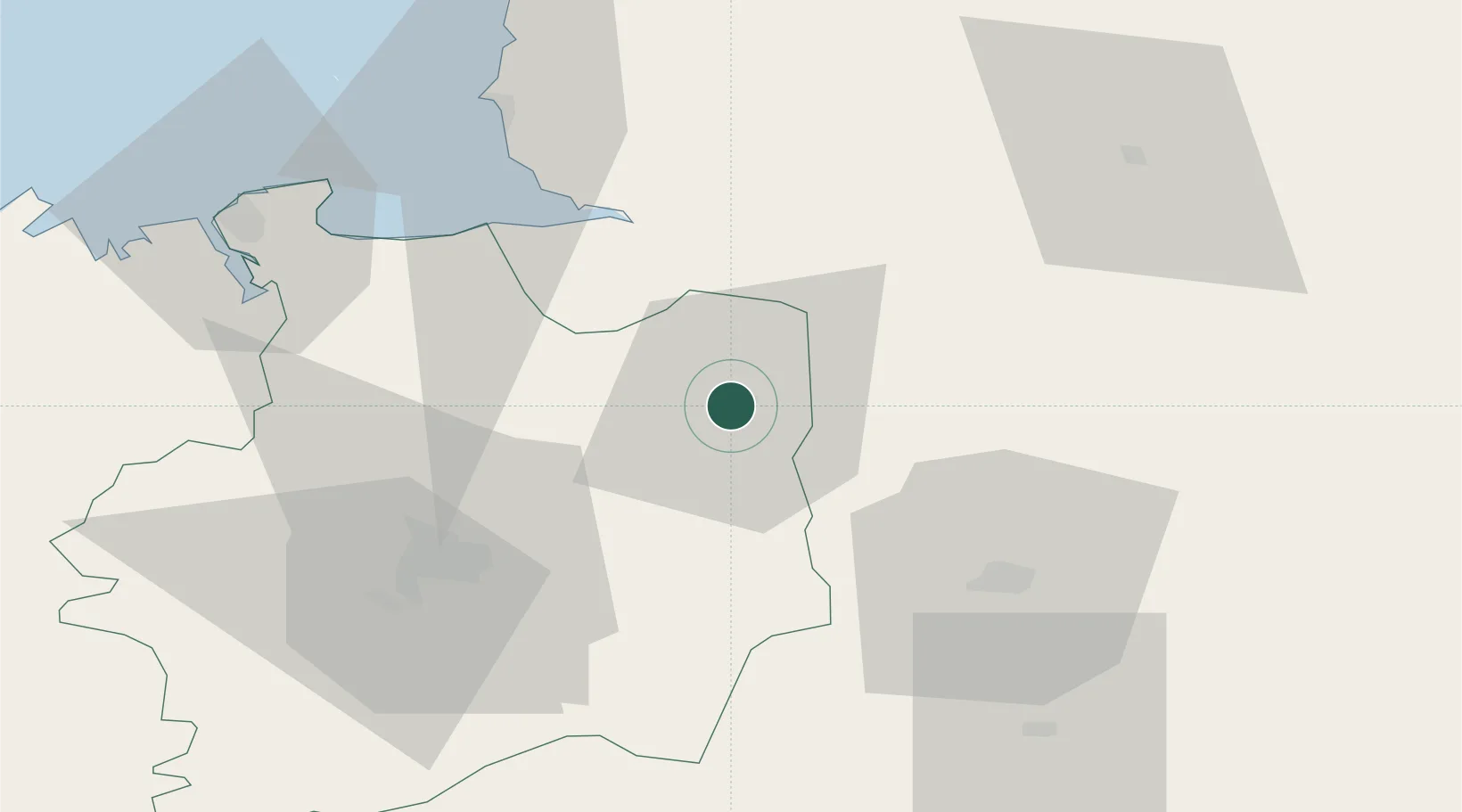
Location
Nearby Logistics Neighbours
Cities
- 1Beaucé3 km
- 2Landéan8 km
- 3Luitré10 km
- 4Combourtillé10 km
- 5Baillé12 km
Ports
- 1Granville61 km
- 2Saint-Malo69 km
- 3Port De Caen112 km
- 4Saint Helier Harbour115 km
- 5Le Legue116 km
Airports
Trade Zones
- 1ZFU Alençon95 km
- 2ZFU Angers106 km
- 3ZFU Le Mans107 km
- 4ZFU La Guérinière, La Grâce de Dieu110 km
- 5ZFU Hérouville-Saint-Clair114 km
DatabookThe Record of Consolidated Knowledge
France beyond logistics?