Transport Functions
Multimodal
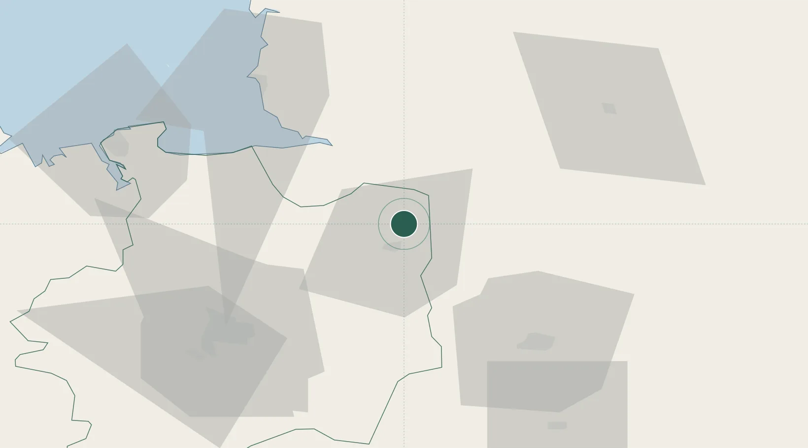
Hub Profile
Place type
Populated place
Region
Brittany
Population
1,314
Time zone
Europe/Paris
Elevation
145 m
Location
Nearby Logistics Neighbours
Cities
- 1Pontmain8 km
- 2Fougères8 km
- 3Beaucé9 km
- 4Saint-Martin-de-Landelles15 km
- 5Luitré15 km
Ports
- 1Granville57 km
- 2Saint-Malo69 km
- 3Port De Caen103 km
- 4Saint Helier Harbour111 km
- 5Ouistreham117 km
Airports
Trade Zones
- 1ZFU Alençon91 km
- 2ZFU La Guérinière, La Grâce de Dieu101 km
- 3ZFU Hérouville-Saint-Clair105 km
- 4ZFU Le Mans106 km
- 5ZFU Angers112 km
DatabookThe Record of Consolidated Knowledge
France beyond logistics?