Transport Functions
Multimodal
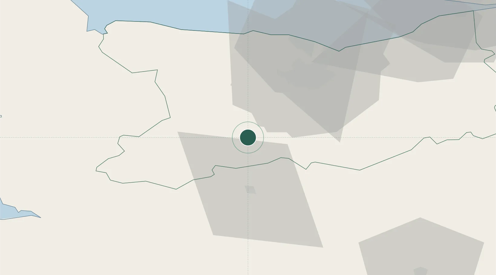
Hub Profile
Place type
Populated place
Region
Normandy
Population
164
Time zone
Europe/Paris
Elevation
228 m
Location
Nearby Logistics Neighbours
Cities
- 1Saint-Rémy6 km
- 2Saint-Jean-le-Blanc6 km
- 3Grisy9 km
- 4Montilly-sur-Noireau15 km
- 5Caligny15 km
Ports
- 1Port De Caen30 km
- 2Ouistreham44 km
- 3Deauville66 km
- 4Granville77 km
- 5Honfleur77 km
Airports
- 1Caen Carpiquet airport27 km
- 2Deauville Normandie airport70 km
- 3Granville Airport73 km
- 4Le Havre-Octeville Airport81 km
- 5Cherbourg Manche airport102 km
Trade Zones
- 1ZFU La Guérinière, La Grâce de Dieu29 km
- 2ZFU Hérouville-Saint-Clair32 km
- 3ZFU Alençon75 km
- 4ZFU Le Havre79 km
- 5ZFU Cherbourg-Octeville111 km
DatabookThe Record of Consolidated Knowledge
France beyond logistics?