UN/LOCODE hub · France
FRTYL
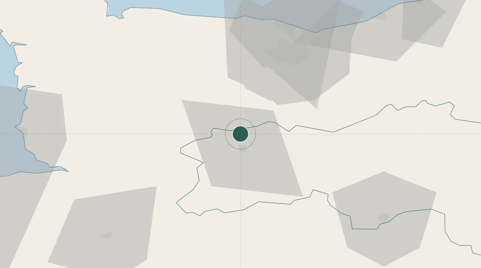
Montilly-sur-Noireau
48.8167°, -0.5667°
778
Population
1
Transport functions
Transport Functions
Multimodal
Hub Profile
Place type
Populated place
Region
Normandy
Population
778
Time zone
Europe/Paris
Elevation
142 m
Location
Nearby Logistics Neighbours
Cities
- 1Caligny2 km
- 2Messei-Saint-Gervais11 km
- 3Saint-Rémy12 km
- 4Saint-Jean-le-Blanc14 km
- 5Cauville15 km
Ports
- 1Port De Caen44 km
- 2Ouistreham57 km
- 3Granville76 km
- 4Deauville77 km
- 5Honfleur88 km
Airports
- 1Caen Carpiquet airport41 km
- 2Granville Airport73 km
- 3Deauville Normandie airport81 km
- 4Laval-Entrammes Airport88 km
- 5Le Havre-Octeville Airport93 km
Trade Zones
- 1ZFU La Guérinière, La Grâce de Dieu43 km
- 2ZFU Hérouville-Saint-Clair46 km
- 3ZFU Alençon64 km
- 4ZFU Le Havre91 km
- 5ZFU Le Mans106 km
DatabookThe Record of Consolidated Knowledge
France beyond logistics?