Transport Functions
Rail
Road
Hub Profile
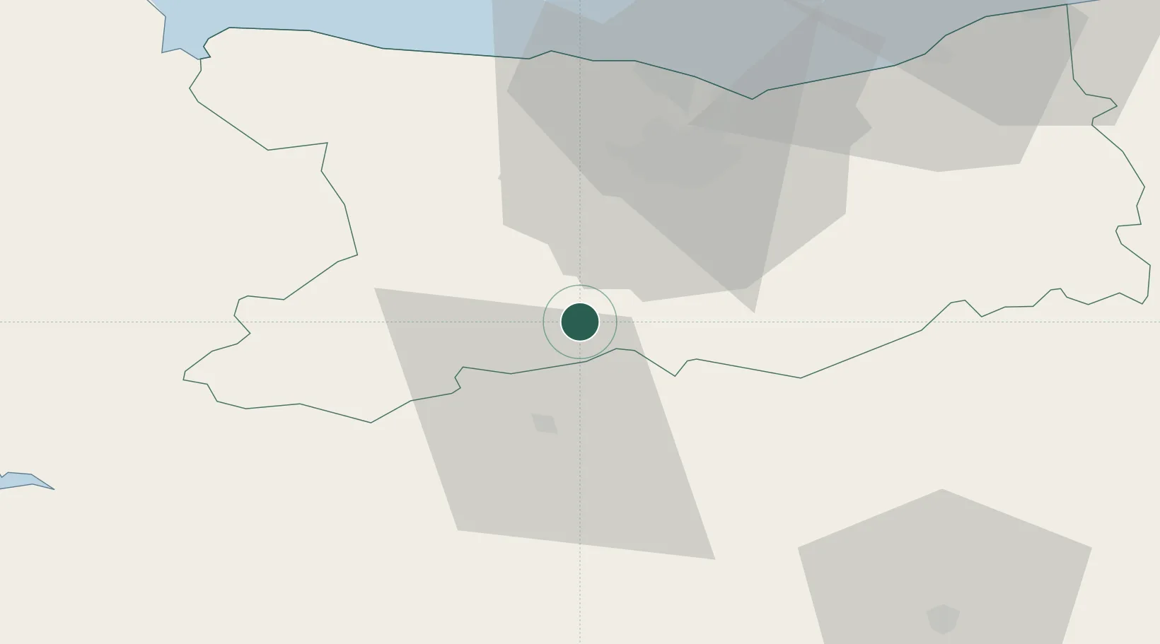
Place type
Populated place
Region
Normandy
Population
1,065
Time zone
Europe/Paris
Elevation
40 m
Location
Nearby Logistics Neighbours
Cities
- 1Cauville6 km
- 2Saint-Jean-le-Blanc11 km
- 3Montilly-sur-Noireau12 km
- 4Caligny13 km
- 5Grisy15 km
Ports
- 1Port De Caen32 km
- 2Ouistreham45 km
- 3Deauville66 km
- 4Honfleur76 km
- 5Port Of Le Havre77 km
Airports
- 1Caen Carpiquet airport29 km
- 2Deauville Normandie airport69 km
- 3Granville Airport78 km
- 4Le Havre-Octeville Airport81 km
- 5Laval-Entrammes Airport100 km
Trade Zones
- 1ZFU La Guérinière, La Grâce de Dieu31 km
- 2ZFU Hérouville-Saint-Clair34 km
- 3ZFU Alençon69 km
- 4ZFU Le Havre79 km
- 5ZFU Le Mans114 km
DatabookThe Record of Consolidated Knowledge
France beyond logistics?