Transport Functions
Multimodal
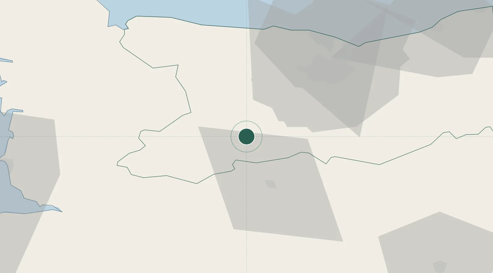
Hub Profile
Place type
Populated place
Region
Normandy
Time zone
Europe/Paris
Elevation
233 m
Location
Nearby Logistics Neighbours
Cities
- 1Cauville6 km
- 2Grisy8 km
- 3Saint-Rémy11 km
- 4Le Tourneur13 km
- 5Caligny14 km
Ports
- 1Port De Caen35 km
- 2Ouistreham49 km
- 3Granville70 km
- 4Deauville72 km
- 5Port Of Le Havre83 km
Airports
- 1Caen Carpiquet airport31 km
- 2Granville Airport67 km
- 3Deauville Normandie airport76 km
- 4Le Havre-Octeville Airport86 km
- 5Cherbourg Manche airport100 km
Trade Zones
- 1ZFU La Guérinière, La Grâce de Dieu33 km
- 2ZFU Hérouville-Saint-Clair37 km
- 3ZFU Alençon78 km
- 4ZFU Le Havre84 km
- 5ZFU Cherbourg-Octeville108 km
DatabookThe Record of Consolidated Knowledge
France beyond logistics?