Transport Functions
Multimodal
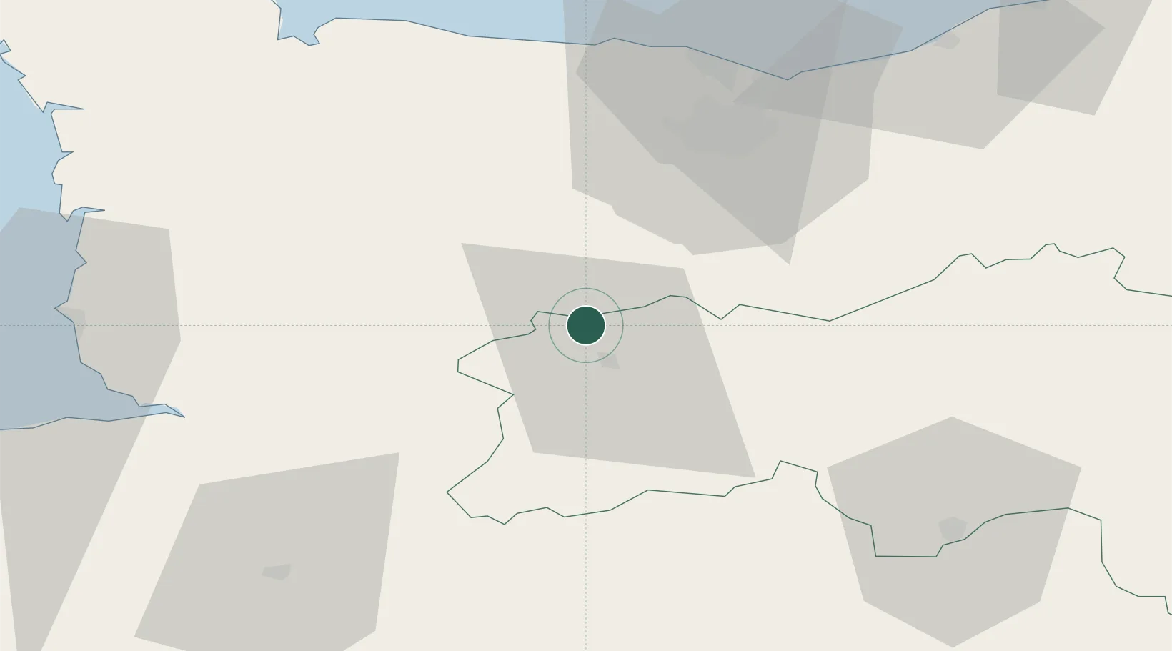
Hub Profile
Place type
Populated place
Region
Normandy
Population
894
Time zone
Europe/Paris
Elevation
137 m
Location
Nearby Logistics Neighbours
Cities
- 1Montilly-sur-Noireau2 km
- 2Messei-Saint-Gervais12 km
- 3Saint-Rémy13 km
- 4Saint-Jean-le-Blanc14 km
- 5Cauville15 km
Ports
- 1Port De Caen45 km
- 2Ouistreham58 km
- 3Granville73 km
- 4Deauville79 km
- 5Honfleur89 km
Airports
- 1Caen Carpiquet airport41 km
- 2Granville Airport71 km
- 3Deauville Normandie airport82 km
- 4Laval-Entrammes Airport88 km
- 5Le Havre-Octeville Airport94 km
Trade Zones
- 1ZFU La Guérinière, La Grâce de Dieu43 km
- 2ZFU Hérouville-Saint-Clair47 km
- 3ZFU Alençon66 km
- 4ZFU Le Havre93 km
- 5ZFU Le Mans107 km
DatabookThe Record of Consolidated Knowledge
France beyond logistics?