Transport Functions
Multimodal
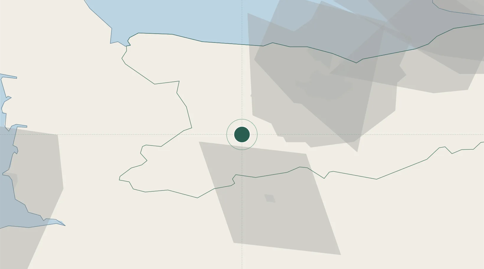
Hub Profile
Place type
Populated place
Region
Normandy
Time zone
Europe/Paris
Elevation
30 m
Location
Nearby Logistics Neighbours
Cities
- 1Tracy-Bocage8 km
- 2Saint-Jean-le-Blanc8 km
- 3Cauville9 km
- 4Le Tourneur12 km
- 5Saint-Rémy15 km
Ports
- 1Port De Caen31 km
- 2Ouistreham44 km
- 3Deauville68 km
- 4Granville71 km
- 5Port Of Le Havre78 km
Airports
- 1Caen Carpiquet airport25 km
- 2Granville Airport67 km
- 3Deauville Normandie airport72 km
- 4Le Havre-Octeville Airport81 km
- 5Cherbourg Manche airport93 km
Trade Zones
- 1ZFU La Guérinière, La Grâce de Dieu28 km
- 2ZFU Hérouville-Saint-Clair32 km
- 3ZFU Le Havre80 km
- 4ZFU Alençon84 km
- 5ZFU Cherbourg-Octeville102 km
DatabookThe Record of Consolidated Knowledge
France beyond logistics?