Transport Functions
Rail
Road
Multimodal
Hub Profile
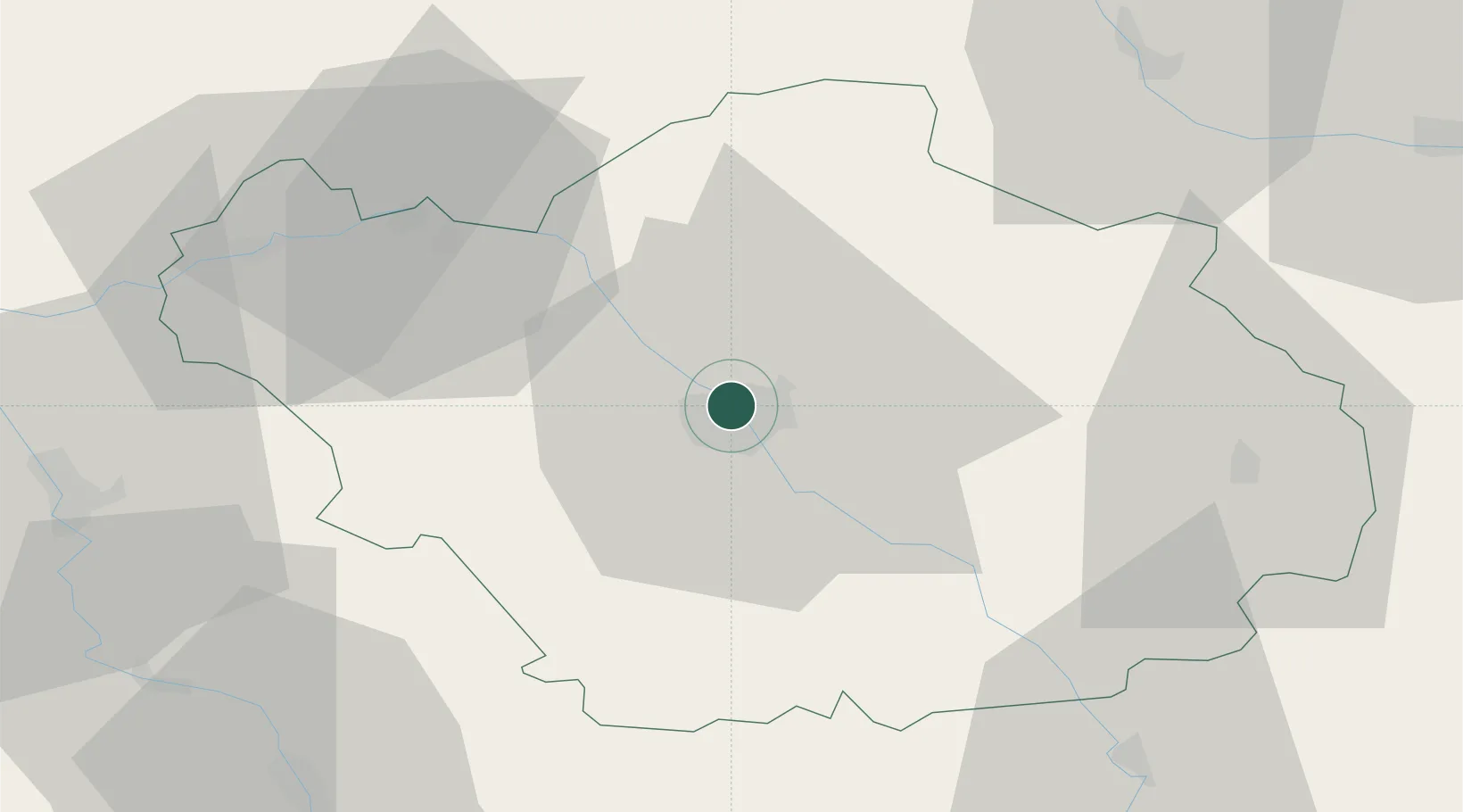
Place type
Populated place
Region
Grand Est
Population
488
Time zone
Europe/Paris
Elevation
105 m
Location
Nearby Logistics Neighbours
Cities
- 1Troyes2 km
- 2Sainte-Savine3 km
- 3Barberey-Saint-Sulpice4 km
- 4Creney-près-Troyes4 km
- 5La Rivière-de-Corps5 km
Ports
- 1Bruxelles284 km
- 2Ghent307 km
- 3Antwerpen323 km
- 4Nieuwpoort328 km
- 5Dunkerque Port Est330 km
Airports
Trade Zones
DatabookThe Record of Consolidated Knowledge
France beyond logistics?