UN/LOCODE hub · France
FRRPR

Rosières-près-Troyes
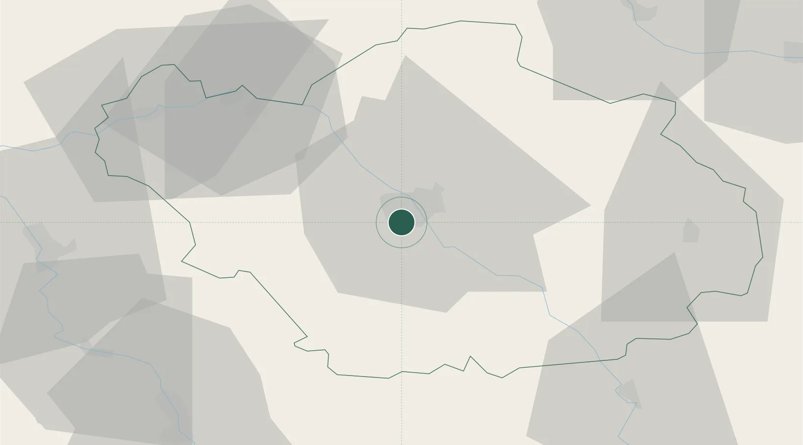
48.2667°, 4.0667°
2,995
Population
2
Transport functions

Transport Functions

Rail
Road
UN/LOCODE

Hub Profile

Place type
Populated place
GeoNames
Region
Grand Est
GeoNames
Population
2,995
GeoNames
Time zone
Europe/Paris
GeoNames
Elevation
114 m
GeoNames

Location

Location of FRRPR
Natural Earth 10m (public domain) · Grand Est · FRRPR · 48.27, 4.07GoogleOSMYandex

Nearby Logistics Neighbours

Cities
  1. 1La Rivière-de-Corps3 km
  2. 2Troyes4 km
  3. 3Sainte-Savine4 km
  4. 4Lavau6 km
  5. 5Moussey6 km
Nearest neighbours — logibook spatial index (haversine) over the source coordinates
Ports
  1. 1Bruxelles290 km
  2. 2Ghent312 km
  3. 3Antwerpen329 km
  4. 4Nieuwpoort333 km
  5. 5Gravelines335 km
Nearest neighbours — logibook spatial index (haversine) over the source coordinates
Airports
  1. 1Troyes-Barberey Airport7 km
  2. 2Chalons Vatry airport57 km
  3. 3Auxerre Branches airport63 km
  4. 4Saint-Dizier – Robinson Air Base74 km
  5. 5Melun-Villaroche Airfield110 km
Nearest neighbours — logibook spatial index (haversine) over the source coordinates
Trade Zones
  1. 1ZFU La Chapelle Saint-Luc, Les Noës-près-Troyes, Troyes, Sainte-Savine5 km
  2. 2ZFU Sens60 km
  3. 3ZFU Saint-Dizier72 km
  4. 4ZFU Montereau-Fault-Yonne84 km
  5. 5ZFU Melun110 km
Nearest neighbours — logibook spatial index (haversine) over the source coordinates
DatabookThe Record of Consolidated Knowledge
France beyond logistics?
Browse databook

All Sources

LocationsUN/LOCODE
UN/LOCODE — free
LocationsGeoNames
CC BY 4.0
Portsthe NGA World Port Index
Public domain (US gov)
AirportsOurAirports
Public domain
Trade Zonesthe World Bank SEZ database
CC BY 4.0
Trade ZonesOpen Zone Map
CC BY
← France locations