Transport Functions
Port
Rail
Airport
Hub Profile
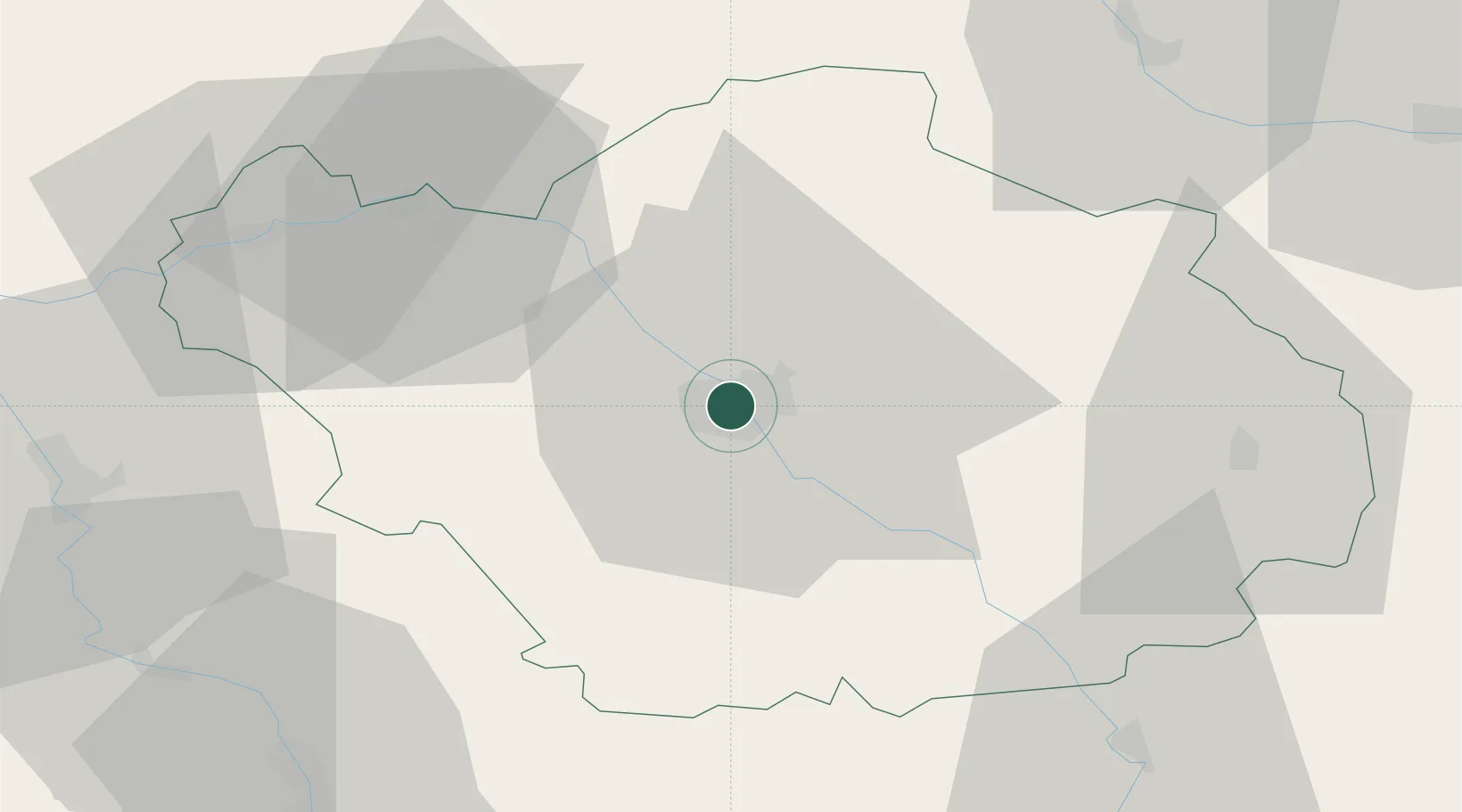
Place type
Provincial seat
Region
Grand Est
Population
60,785
Time zone
Europe/Paris
Elevation
106 m
Location
Nearby Logistics Neighbours
Cities
- 1Lavau2 km
- 2Sainte-Savine3 km
- 3Rosières-près-Troyes4 km
- 4La Rivière-de-Corps4 km
- 5Barberey-Saint-Sulpice5 km
Ports
- 1Bruxelles286 km
- 2Ghent309 km
- 3Antwerpen325 km
- 4Nieuwpoort329 km
- 5Gravelines332 km
Airports
Trade Zones
DatabookThe Record of Consolidated Knowledge
France beyond logistics?