Transport Functions
Road
Multimodal
Hub Profile
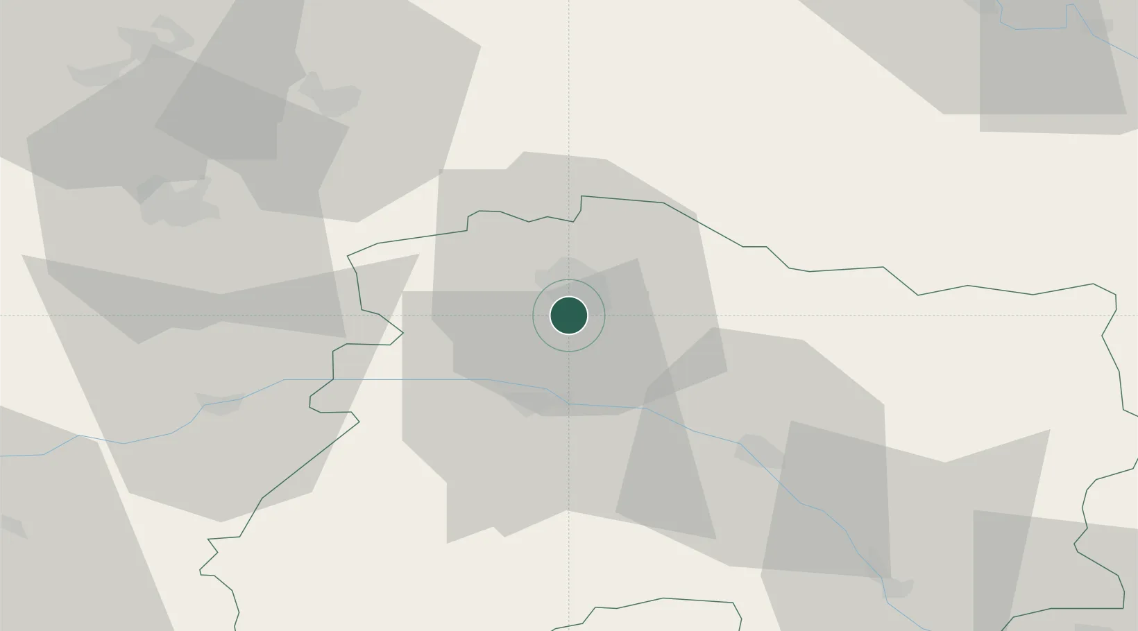
Place type
Populated place
Region
Grand Est
Population
148
Time zone
Europe/Paris
Elevation
119 m
Location
Nearby Logistics Neighbours
Cities
- 1Rilly-la-Montagne4 km
- 2Villers-aux-Nuds4 km
- 3Saint-Léonard5 km
- 4Sermiers5 km
- 5Sacy6 km
Ports
- 1Bruxelles187 km
- 2Ghent209 km
- 3Antwerpen226 km
- 4Bruges233 km
- 5Nieuwpoort234 km
Airports
Trade Zones
- 1ZFU Reims7 km
- 2ZFU Presles, Chevreux56 km
- 3ZFU Ronde Couture78 km
- 4ZFU Meaux88 km
- 5ZFU Saint-Dizier88 km
DatabookThe Record of Consolidated Knowledge
France beyond logistics?