UN/LOCODE hub · France
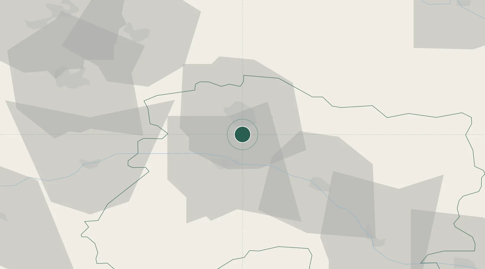
FRRM2

Rilly-la-Montagne

49.1667°, 4.0500°
1,081
Population
1
Transport functions

Transport Functions

Multimodal
UN/LOCODE

Hub Profile

Place type
Populated place
GeoNames
Region
Grand Est
GeoNames
Population
1,081
GeoNames
Time zone
Europe/Paris
GeoNames
Elevation
156 m
GeoNames

Location

Location of FRRM2
Natural Earth 10m (public domain) · Grand Est · FRRM2 · 49.17, 4.05GoogleOSMYandex

Nearby Logistics Neighbours

Cities
  1. 1Ludes3 km
  2. 2Trois-Puits4 km
  3. 3Sermiers5 km
  4. 4Villers-aux-Nuds5 km
  5. 5Mailly-Champagne5 km
Nearest neighbours — logibook spatial index (haversine) over the source coordinates
Ports
  1. 1Bruxelles190 km
  2. 2Ghent213 km
  3. 3Antwerpen229 km
  4. 4Bruges237 km
  5. 5Nieuwpoort238 km
Nearest neighbours — logibook spatial index (haversine) over the source coordinates
Airports
  1. 1Chalons Vatry airport45 km
  2. 2Charleville-Mézières Ardennes-Etienne Riché Airfield81 km
  3. 3Saint-Dizier – Robinson Air Base86 km
  4. 4Troyes-Barberey Airport94 km
  5. 5Verdun-Le Rozelier Airfield103 km
Nearest neighbours — logibook spatial index (haversine) over the source coordinates
Trade Zones
  1. 1ZFU Reims11 km
  2. 2ZFU Presles, Chevreux59 km
  3. 3ZFU Ronde Couture81 km
  4. 4ZFU Saint-Dizier84 km
  5. 5ZFU Meaux88 km
Nearest neighbours — logibook spatial index (haversine) over the source coordinates
DatabookThe Record of Consolidated Knowledge
France beyond logistics?
Browse databook

All Sources

LocationsUN/LOCODE
UN/LOCODE — free
LocationsGeoNames
CC BY 4.0
Portsthe NGA World Port Index
Public domain (US gov)
AirportsOurAirports
Public domain
Trade Zonesthe World Bank SEZ database
CC BY 4.0
Trade ZonesOpen Zone Map
CC BY
← France locations