Transport Functions
Road
Multimodal
Hub Profile
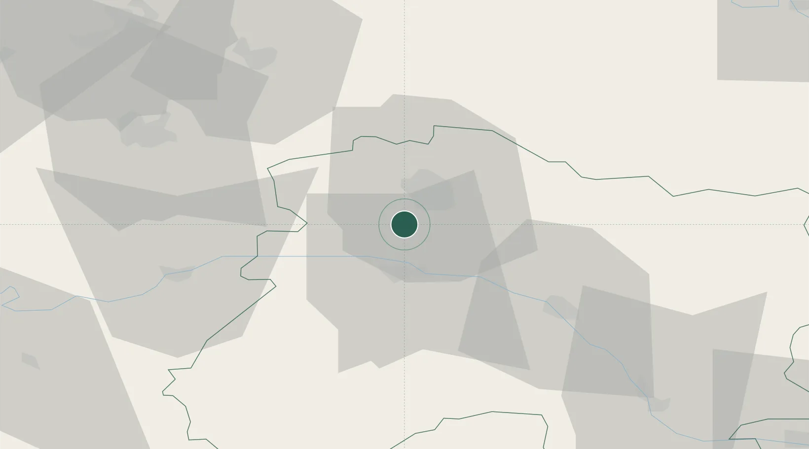
Place type
Populated place
Region
Grand Est
Population
574
Time zone
Europe/Paris
Elevation
164 m
Location
Nearby Logistics Neighbours
Cities
- 1Villers-aux-Nuds2 km
- 2Chamery2 km
- 3Écueil3 km
- 4Sacy4 km
- 5Rilly-la-Montagne5 km
Ports
- 1Bruxelles191 km
- 2Saint-Valery-Sur-Somme204 km
- 3Ghent212 km
- 4Le Treport213 km
- 5Port Of Rouen214 km
Airports
Trade Zones
- 1ZFU Reims10 km
- 2ZFU Presles, Chevreux54 km
- 3ZFU Meaux83 km
- 4ZFU Ronde Couture84 km
- 5ZFU Saint-Dizier88 km
DatabookThe Record of Consolidated Knowledge
France beyond logistics?