UN/LOCODE hub · France
FRVX5

Villers-aux-Nuds

49.1833°, 3.9833°
1
Transport functions

Transport Functions

Multimodal
UN/LOCODE

Hub Profile

Region
51
GeoNames

Location

Location of FRVX5
Natural Earth 10m (public domain) · 51 · FRVX5 · 49.18, 3.98GoogleOSMYandex

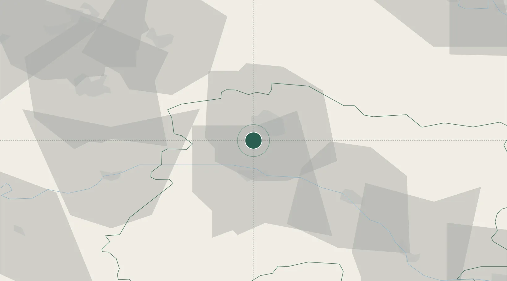
Nearby Logistics Neighbours

Cities
  1. 1Sermiers2 km
  2. 2Écueil2 km
  3. 3Sacy3 km
  4. 4Chamery3 km
  5. 5Ville-Dommange4 km
Nearest neighbours — logibook spatial index (haversine) over the source coordinates
Ports
  1. 1Bruxelles189 km
  2. 2Saint-Valery-Sur-Somme203 km
  3. 3Ghent210 km
  4. 4Le Treport213 km
  5. 5Port Of Rouen214 km
Nearest neighbours — logibook spatial index (haversine) over the source coordinates
Airports
  1. 1Chalons Vatry airport48 km
  2. 2Charleville-Mézières Ardennes-Etienne Riché Airfield82 km
  3. 3Saint-Dizier – Robinson Air Base91 km
  4. 4Troyes-Barberey Airport96 km
  5. 5Péronne Saint-Quentin Airfield103 km
Nearest neighbours — logibook spatial index (haversine) over the source coordinates
Trade Zones
  1. 1ZFU Reims8 km
  2. 2ZFU Presles, Chevreux54 km
  3. 3ZFU Ronde Couture82 km
  4. 4ZFU Meaux84 km
  5. 5ZFU Saint-Dizier89 km
Nearest neighbours — logibook spatial index (haversine) over the source coordinates
DatabookThe Record of Consolidated Knowledge
France beyond logistics?
Browse databook

All Sources

LocationsUN/LOCODE
UN/LOCODE — free
Portsthe NGA World Port Index
Public domain (US gov)
AirportsOurAirports
Public domain
Trade Zonesthe World Bank SEZ database
CC BY 4.0
Trade ZonesOpen Zone Map
CC BY
← France locations