Transport Functions
Port
Rail
Road
Airport
Multimodal
Postal
Hub Profile
Place type
Populated place
Region
Hauts-de-France
Population
616
Time zone
Europe/Paris
Elevation
94 m
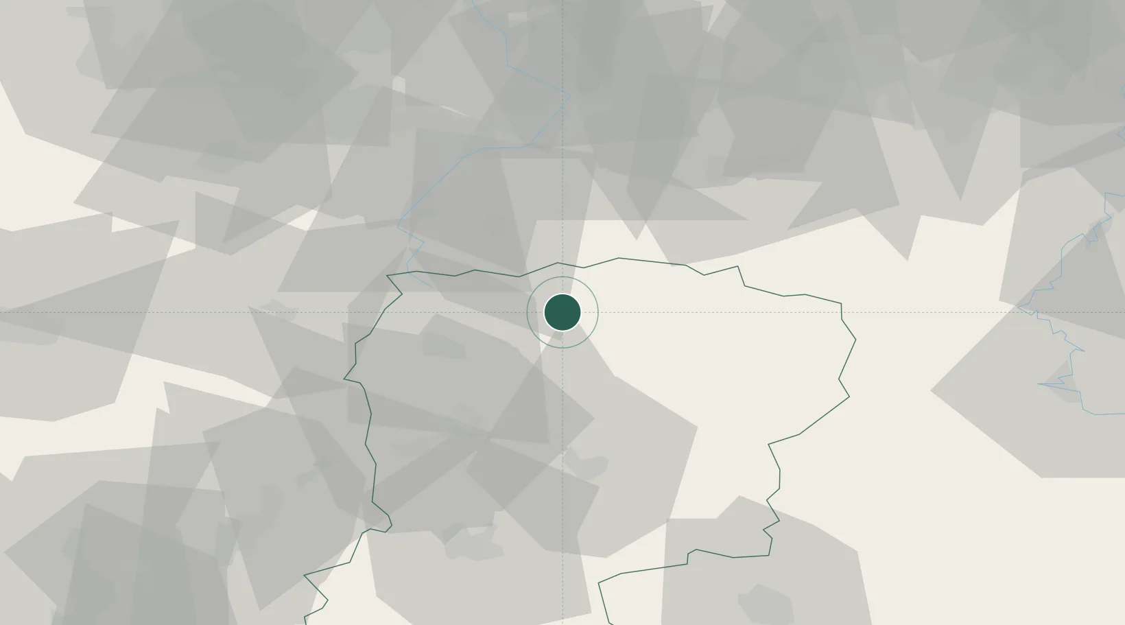
Location
Nearby Logistics Neighbours
Cities
- 1Bohain-en-Vermandois10 km
- 2Fontaine-Notre-Dame11 km
- 3Origny-Sainte-Benoite12 km
- 4Le Nouvion-en-Thiérache16 km
- 5Sains-Richaumont16 km
Ports
- 1Bruxelles118 km
- 2Ghent127 km
- 3Saint-Valery-Sur-Somme142 km
- 4Nieuwpoort145 km
- 5Bruges147 km
Airports
DatabookThe Record of Consolidated Knowledge
France beyond logistics?