UN/LOCODE hub · France
FROBB

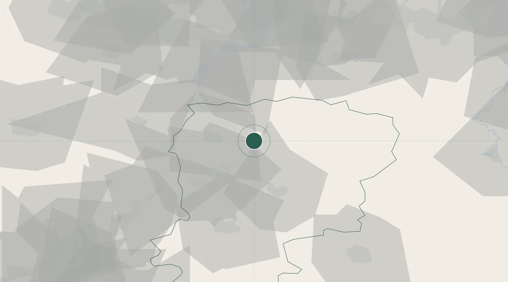
Origny-Sainte-Benoite

49.8333°, 3.5000°
1,780
Population
2
Transport functions

Transport Functions

Road
Multimodal
UN/LOCODE

Hub Profile

Place type
Populated place
GeoNames
Region
Hauts-de-France
GeoNames
Population
1,780
GeoNames
Time zone
Europe/Paris
GeoNames
Elevation
106 m
GeoNames

Location

Location of FROBB
Natural Earth 10m (public domain) · Hauts-de-France · FROBB · 49.83, 3.50GoogleOSMYandex

Nearby Logistics Neighbours

Cities
  1. 1Regny6 km
  2. 2Ribemont7 km
  3. 3Fontaine-Notre-Dame7 km
  4. 4Vadencourt12 km
  5. 5Harly13 km
Nearest neighbours — logibook spatial index (haversine) over the source coordinates
Ports
  1. 1Bruxelles130 km
  2. 2Ghent138 km
  3. 3Saint-Valery-Sur-Somme140 km
  4. 4Nieuwpoort154 km
  5. 5Le Treport155 km
Nearest neighbours — logibook spatial index (haversine) over the source coordinates
Airports
  1. 1Péronne Saint-Quentin Airfield34 km
  2. 2Valenciennes-Denain Airfield55 km
  3. 3Amiens Glisy Airfield80 km
  4. 4Charleville-Mézières Ardennes-Etienne Riché Airfield83 km
  5. 5Chièvres Air Base86 km
Nearest neighbours — logibook spatial index (haversine) over the source coordinates
Trade Zones
  1. 1ZFU Le Vermandois Vermand, Fayet, Artois, Champagne21 km
  2. 2ZFU Presles, Chevreux53 km
  3. 3ZFU Denain, Douchy-les-Mines, Escaudain et Lourches54 km
  4. 4ZFU Maubeuge, Louvroil57 km
  5. 5ZFU Condé sur lEscaut71 km
Nearest neighbours — logibook spatial index (haversine) over the source coordinates
DatabookThe Record of Consolidated Knowledge
France beyond logistics?
Browse databook

All Sources

LocationsUN/LOCODE
UN/LOCODE — free
LocationsGeoNames
CC BY 4.0
Portsthe NGA World Port Index
Public domain (US gov)
AirportsOurAirports
Public domain
Trade Zonesthe World Bank SEZ database
CC BY 4.0
Trade ZonesOpen Zone Map
CC BY
← France locations