Transport Functions
Rail
Road
Hub Profile
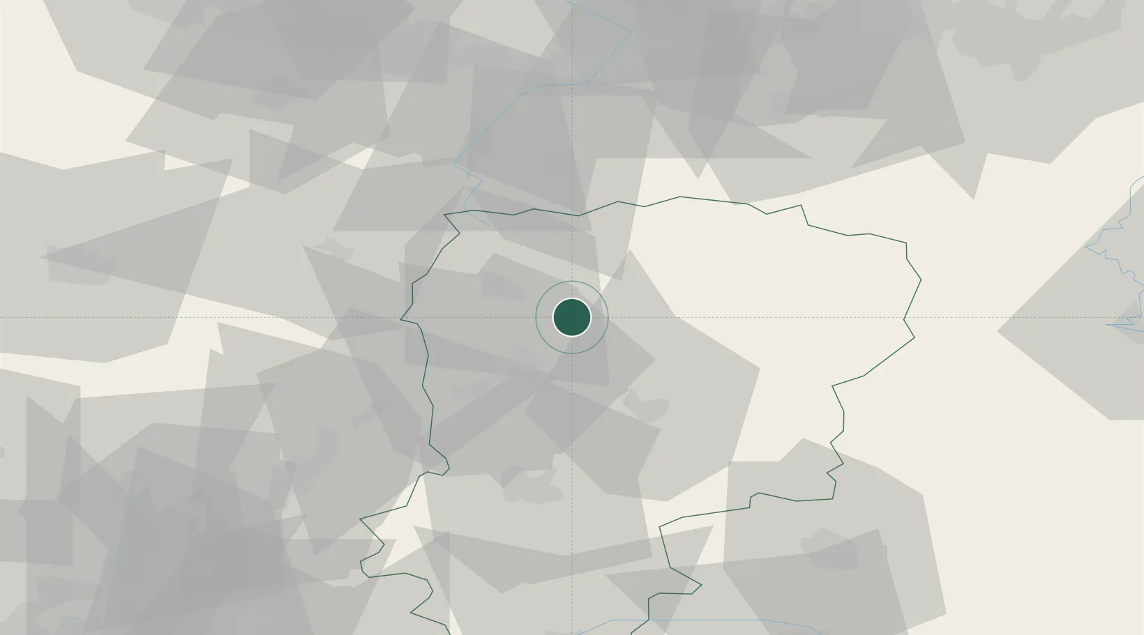
Place type
Populated place
Region
Hauts-de-France
Population
2,135
Time zone
Europe/Paris
Elevation
83 m
Location
Nearby Logistics Neighbours
Cities
- 1Regny4 km
- 2Origny-Sainte-Benoite7 km
- 3Harly11 km
- 4Fontaine-Notre-Dame11 km
- 5Achery12 km
Ports
- 1Bruxelles136 km
- 2Saint-Valery-Sur-Somme138 km
- 3Ghent144 km
- 4Le Treport152 km
- 5Nieuwpoort158 km
Airports
Trade Zones
DatabookThe Record of Consolidated Knowledge
France beyond logistics?