Transport Functions
Rail
Road
Hub Profile
Place type
Populated place
Region
Centre-Val de Loire
Time zone
Europe/Paris
Elevation
122 m
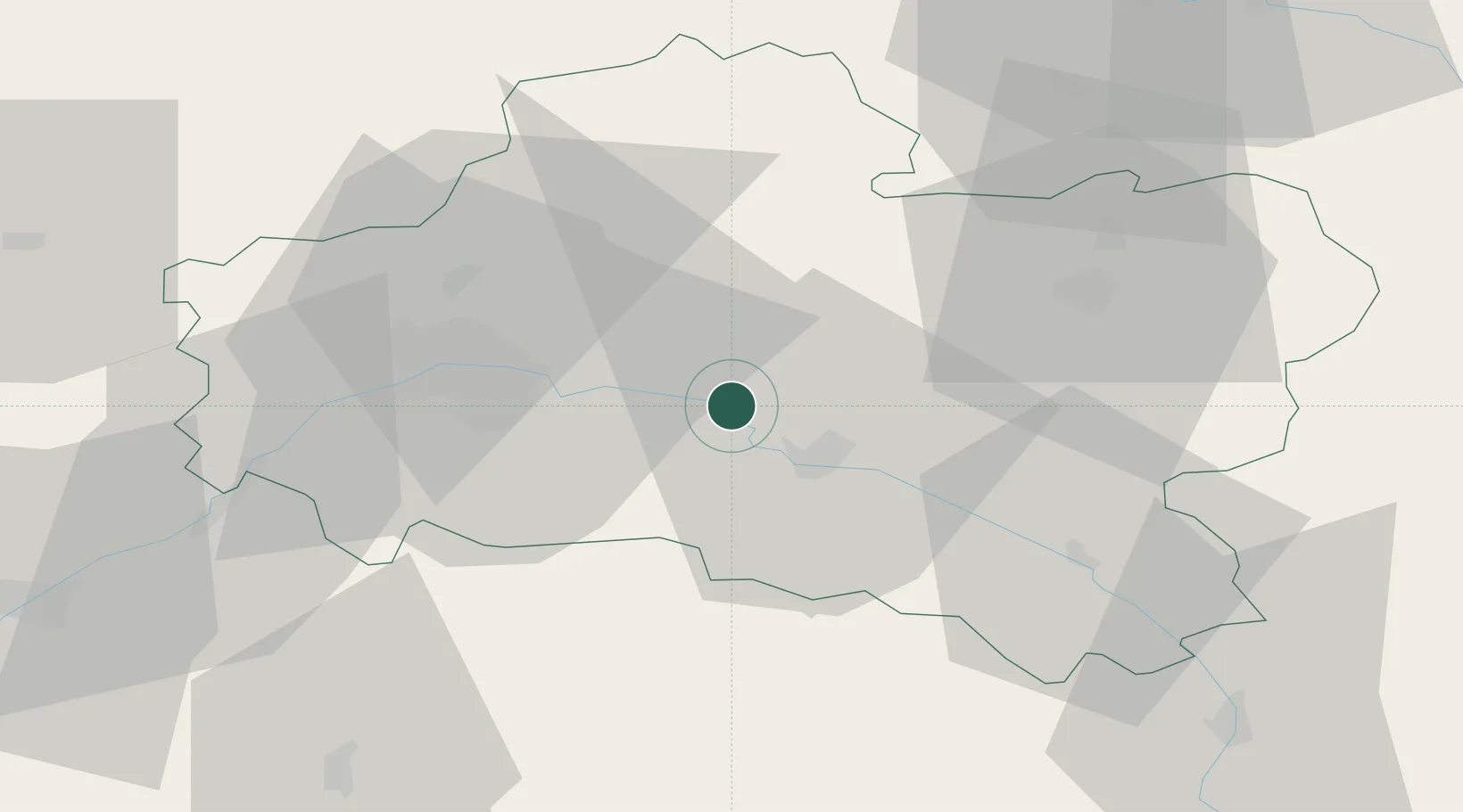
Location
Nearby Logistics Neighbours
Cities
- 1Neuvy-en-Sullias6 km
- 2Tigy8 km
- 3Fay-aux-Loges14 km
- 4Sandillon17 km
- 5Ozouer-sur-Loire19 km
Ports
- 1Port Of Rouen199 km
- 2Honfleur230 km
- 3Deauville233 km
- 4Port Of Le Havre241 km
- 5Port De Caen243 km
Airports
- 1Orléans-Bricy (BA 123) Air Base41 km
- 2Châteaudun Airfield70 km
- 3Bourges airport88 km
- 4Melun-Villaroche Airfield89 km
- 5Auxerre Branches airport92 km
Trade Zones
- 1ZFU Orléans32 km
- 2ZFU Montereau-Fault-Yonne78 km
- 3ZFU Blois80 km
- 4ZFU Melun82 km
- 5ZFU Sens84 km
DatabookThe Record of Consolidated Knowledge
France beyond logistics?