Transport Functions
Multimodal
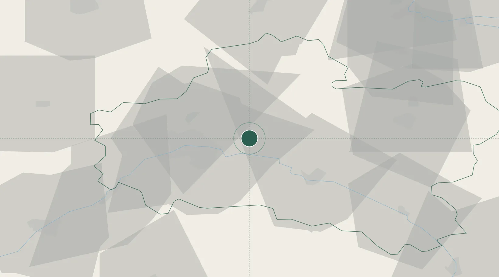
Hub Profile
Place type
Populated place
Region
Centre-Val de Loire
Population
3,082
Time zone
Europe/Paris
Elevation
104 m
Location
Nearby Logistics Neighbours
Cities
- 1Sandillon12 km
- 2Saint-Martin-d'Abbat14 km
- 3Tigy16 km
- 4Neuvy-en-Sullias17 km
- 5Orléans18 km
Ports
- 1Port Of Rouen186 km
- 2Honfleur217 km
- 3Deauville219 km
- 4Port Of Le Havre227 km
- 5Port De Caen230 km
Airports
- 1Orléans-Bricy (BA 123) Air Base28 km
- 2Châteaudun Airfield58 km
- 3Melun-Villaroche Airfield85 km
- 4Paris-Orly Airport90 km
- 5Toussus-le-Noble Airport91 km
Trade Zones
- 1ZFU Orléans23 km
- 2ZFU Blois76 km
- 3ZFU Corbeil-Evry77 km
- 4ZFU Melun77 km
- 5ZFU Montereau-Fault-Yonne79 km
DatabookThe Record of Consolidated Knowledge
France beyond logistics?