Transport Functions
Multimodal
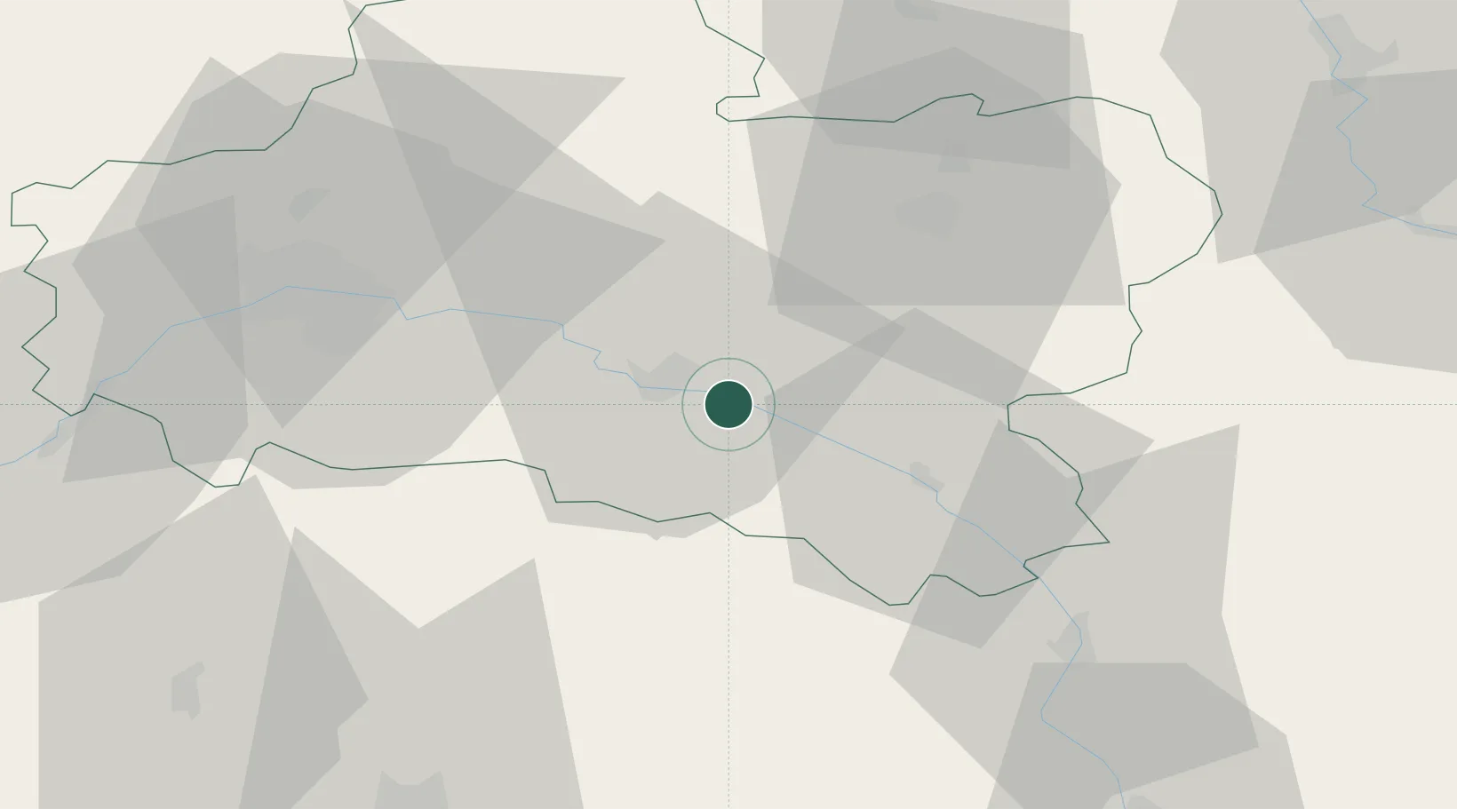
Hub Profile
Region
45
Location
Nearby Logistics Neighbours
Cities
- 1Montoire8 km
- 2Cerdon15 km
- 3Neuvy-en-Sullias17 km
- 4Saint-Martin-d'Abbat19 km
- 5Tigy21 km
Ports
- 1Port Of Rouen215 km
- 2Honfleur248 km
- 3Deauville251 km
- 4Port Of Le Havre259 km
- 5Port De Caen262 km
Airports
- 1Orléans-Bricy (BA 123) Air Base59 km
- 2Bourges airport77 km
- 3Auxerre Branches airport78 km
- 4Avord (BA 702) Air Base79 km
- 5Châteaudun Airfield88 km
Trade Zones
- 1ZFU Orléans49 km
- 2ZFU Bourges75 km
- 3ZFU Sens78 km
- 4ZFU Montereau-Fault-Yonne79 km
- 5ZFU Melun89 km
DatabookThe Record of Consolidated Knowledge
France beyond logistics?