Transport Functions
Road
Multimodal
Hub Profile
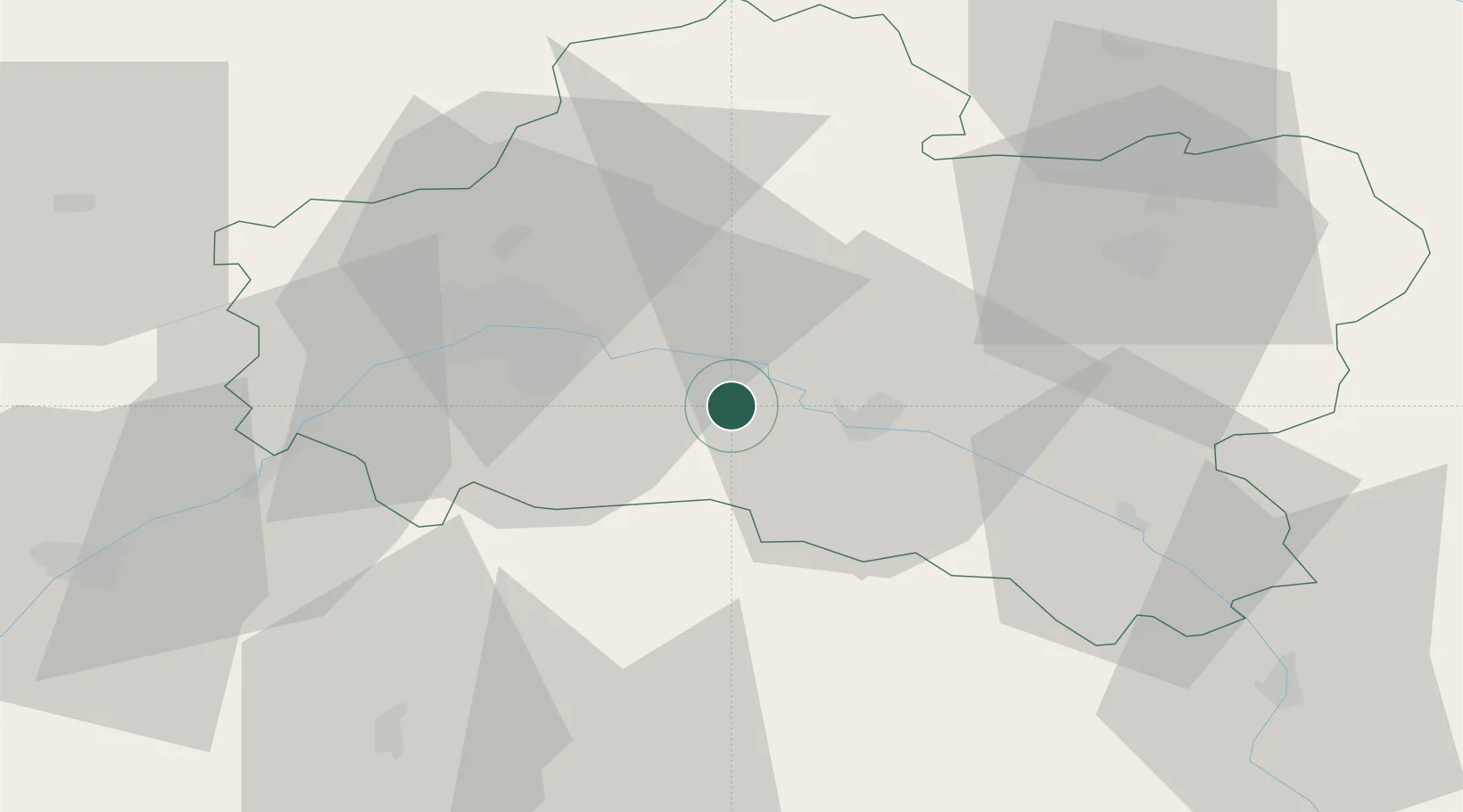
Place type
Populated place
Region
Centre-Val de Loire
Population
2,071
Time zone
Europe/Paris
Elevation
111 m
Location
Nearby Logistics Neighbours
Cities
- 1Neuvy-en-Sullias4 km
- 2Saint-Martin-d'Abbat8 km
- 3Sandillon14 km
- 4Fay-aux-Loges16 km
- 5Ozouer-sur-Loire21 km
Ports
- 1Port Of Rouen202 km
- 2Honfleur232 km
- 3Deauville234 km
- 4Port Of Le Havre242 km
- 5Port De Caen243 km
Airports
- 1Orléans-Bricy (BA 123) Air Base39 km
- 2Châteaudun Airfield68 km
- 3Bourges airport83 km
- 4Avord (BA 702) Air Base89 km
- 5Melun-Villaroche Airfield96 km
Trade Zones
- 1ZFU Orléans28 km
- 2ZFU Blois74 km
- 3ZFU Bourges81 km
- 4ZFU Montereau-Fault-Yonne86 km
- 5ZFU Melun89 km
DatabookThe Record of Consolidated Knowledge
France beyond logistics?