Transport Functions
Road
Multimodal
Hub Profile
Place type
Populated place
Region
Centre-Val de Loire
Population
3,611
Time zone
Europe/Paris
Elevation
99 m
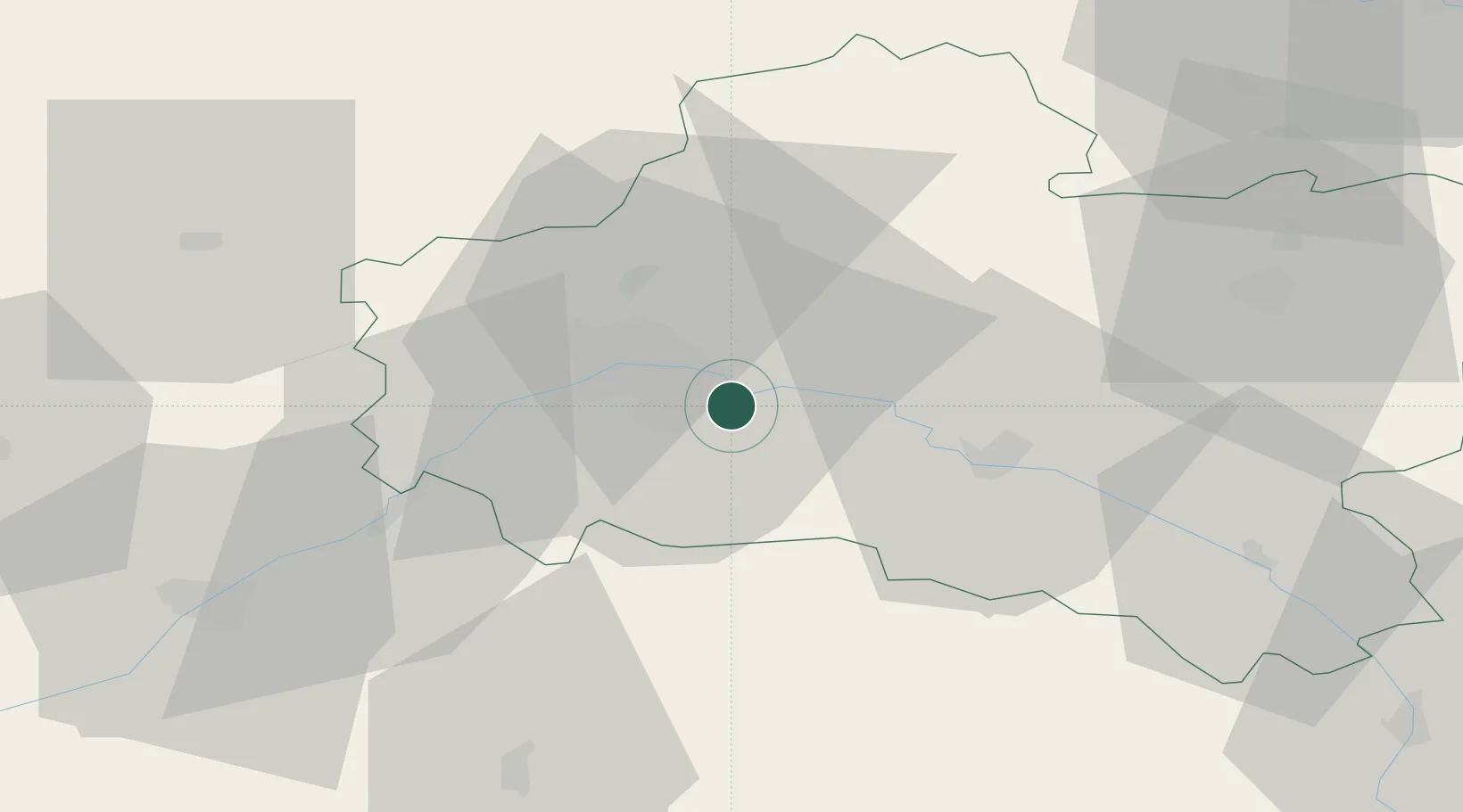
Location
Nearby Logistics Neighbours
Cities
- 1Olivet10 km
- 2Orléans11 km
- 3Fay-aux-Loges12 km
- 4Tigy14 km
- 5La Ferté-Saint-Aubin17 km
Ports
- 1Port Of Rouen192 km
- 2Honfleur220 km
- 3Deauville221 km
- 4Port De Caen230 km
- 5Port Of Le Havre230 km
Airports
- 1Orléans-Bricy (BA 123) Air Base26 km
- 2Châteaudun Airfield54 km
- 3Bourges airport91 km
- 4Melun-Villaroche Airfield96 km
- 5Avord (BA 702) Air Base99 km
Trade Zones
- 1ZFU Orléans15 km
- 2ZFU Blois65 km
- 3ZFU Corbeil-Evry88 km
- 4ZFU Bourges89 km
- 5ZFU Melun89 km
DatabookThe Record of Consolidated Knowledge
France beyond logistics?