Transport Functions
Multimodal
Hub Profile
Place type
Populated place
Region
Centre-Val de Loire
Population
997
Time zone
Europe/Paris
Elevation
114 m
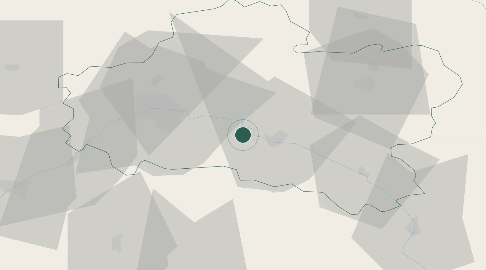
Location
Nearby Logistics Neighbours
Cities
- 1Tigy4 km
- 2Saint-Martin-d'Abbat6 km
- 3Sandillon17 km
- 4Ozouer-sur-Loire17 km
- 5Fay-aux-Loges17 km
Ports
- 1Port Of Rouen203 km
- 2Honfleur234 km
- 3Deauville236 km
- 4Port Of Le Havre244 km
- 5Port De Caen246 km
Airports
- 1Orléans-Bricy (BA 123) Air Base42 km
- 2Châteaudun Airfield71 km
- 3Bourges airport83 km
- 4Avord (BA 702) Air Base88 km
- 5Auxerre Branches airport93 km
Trade Zones
- 1ZFU Orléans32 km
- 2ZFU Blois77 km
- 3ZFU Bourges81 km
- 4ZFU Montereau-Fault-Yonne83 km
- 5ZFU Melun87 km
DatabookThe Record of Consolidated Knowledge
France beyond logistics?