UN/LOCODE hub · France
FRR4B
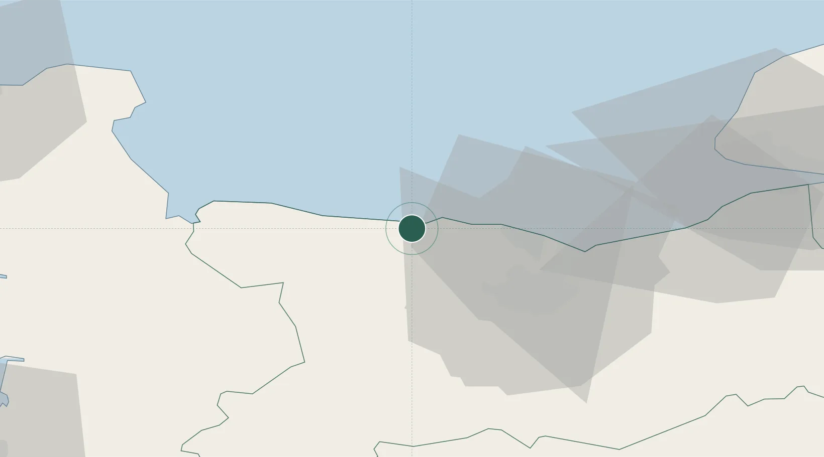
Arromanches-les-Bains
49.3333°, -0.6167°
583
Population
1
Transport functions
Transport Functions
Multimodal
Hub Profile
Place type
Populated place
Region
Normandy
Population
583
Time zone
Europe/Paris
Elevation
11 m
Location
Nearby Logistics Neighbours
Cities
- 1Asnelles2 km
- 2Ver-sur-Mer6 km
- 3Bayeux8 km
- 4Port-en-Bessin-Huppain10 km
- 5Fontaine-Henry13 km
Ports
- 1Port De Caen26 km
- 2Ouistreham27 km
- 3Deauville51 km
- 4Port Of Le Havre56 km
- 5Honfleur61 km
Airports
- 1Caen Carpiquet airport21 km
- 2Le Havre-Octeville Airport56 km
- 3Deauville Normandie airport56 km
- 4Cherbourg Manche airport71 km
- 5Granville Airport85 km
Trade Zones
- 1ZFU La Guérinière, La Grâce de Dieu23 km
- 2ZFU Hérouville-Saint-Clair24 km
- 3ZFU Le Havre57 km
- 4ZFU Cherbourg-Octeville83 km
- 5ZFU Alençon113 km
DatabookThe Record of Consolidated Knowledge
France beyond logistics?