UN/LOCODE hub · France
FRRTB
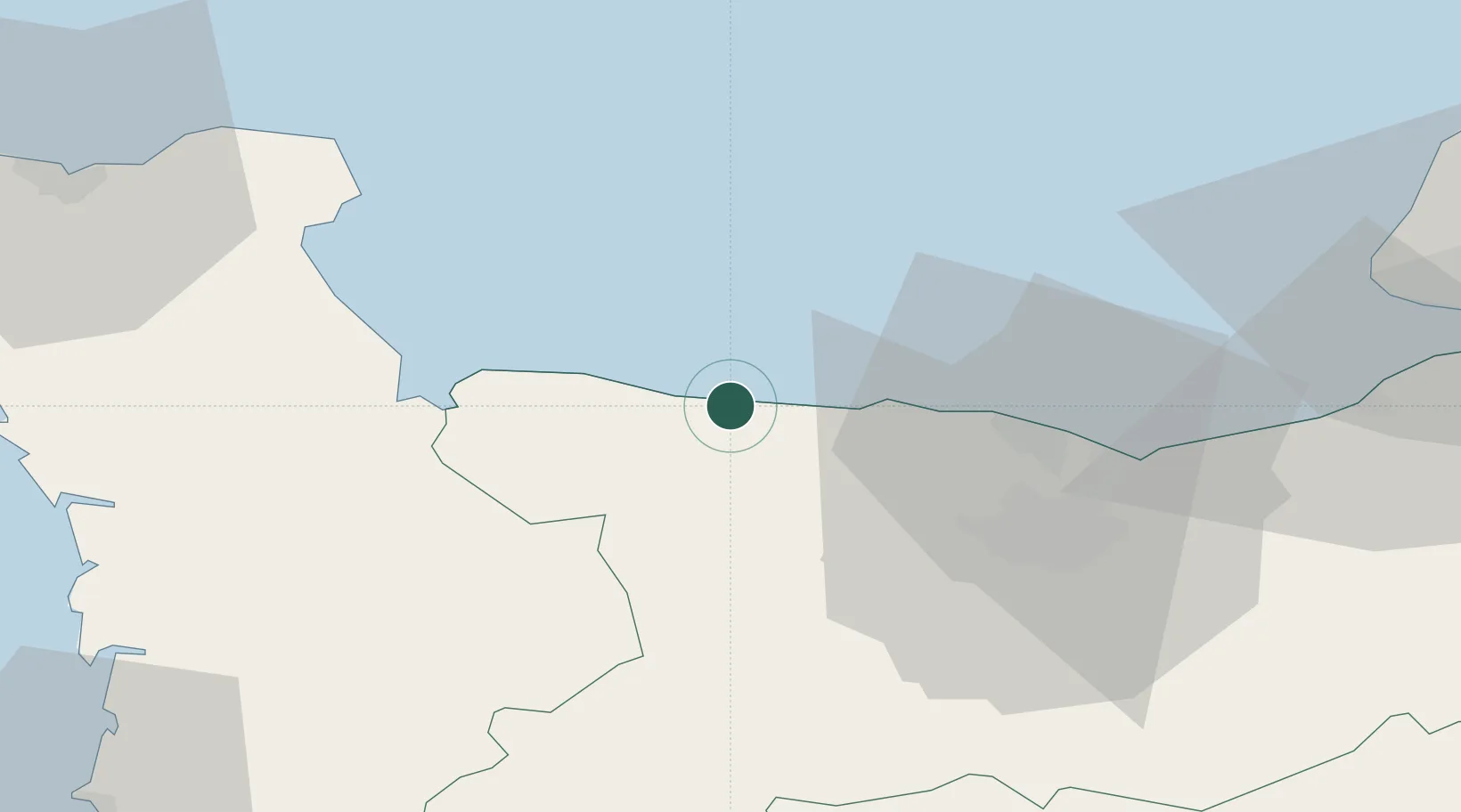
Port-en-Bessin-Huppain
49.3500°, -0.7500°
1,984
Population
2
Transport functions
Transport Functions
Port
Road
Hub Profile
Place type
Populated place
Region
Normandy
Population
1,984
Time zone
Europe/Paris
Elevation
15 m
Location
Nearby Logistics Neighbours
Cities
- 1Bayeux8 km
- 2Saint-Laurent-sur-Mer10 km
- 3Arromanches-les-Bains10 km
- 4Asnelles12 km
- 5Ver-sur-Mer16 km
Ports
- 1Port De Caen34 km
- 2Ouistreham37 km
- 3Deauville60 km
- 4Port Of Le Havre64 km
- 5Honfleur70 km
Airports
- 1Caen Carpiquet airport29 km
- 2Cherbourg Manche airport62 km
- 3Le Havre-Octeville Airport64 km
- 4Deauville Normandie airport66 km
- 5Granville Airport79 km
Trade Zones
- 1ZFU La Guérinière, La Grâce de Dieu31 km
- 2ZFU Hérouville-Saint-Clair33 km
- 3ZFU Le Havre65 km
- 4ZFU Cherbourg-Octeville74 km
- 5ZFU Alençon119 km
DatabookThe Record of Consolidated Knowledge
France beyond logistics?