Transport Functions
Rail
Road
Hub Profile
Place type
District seat
Region
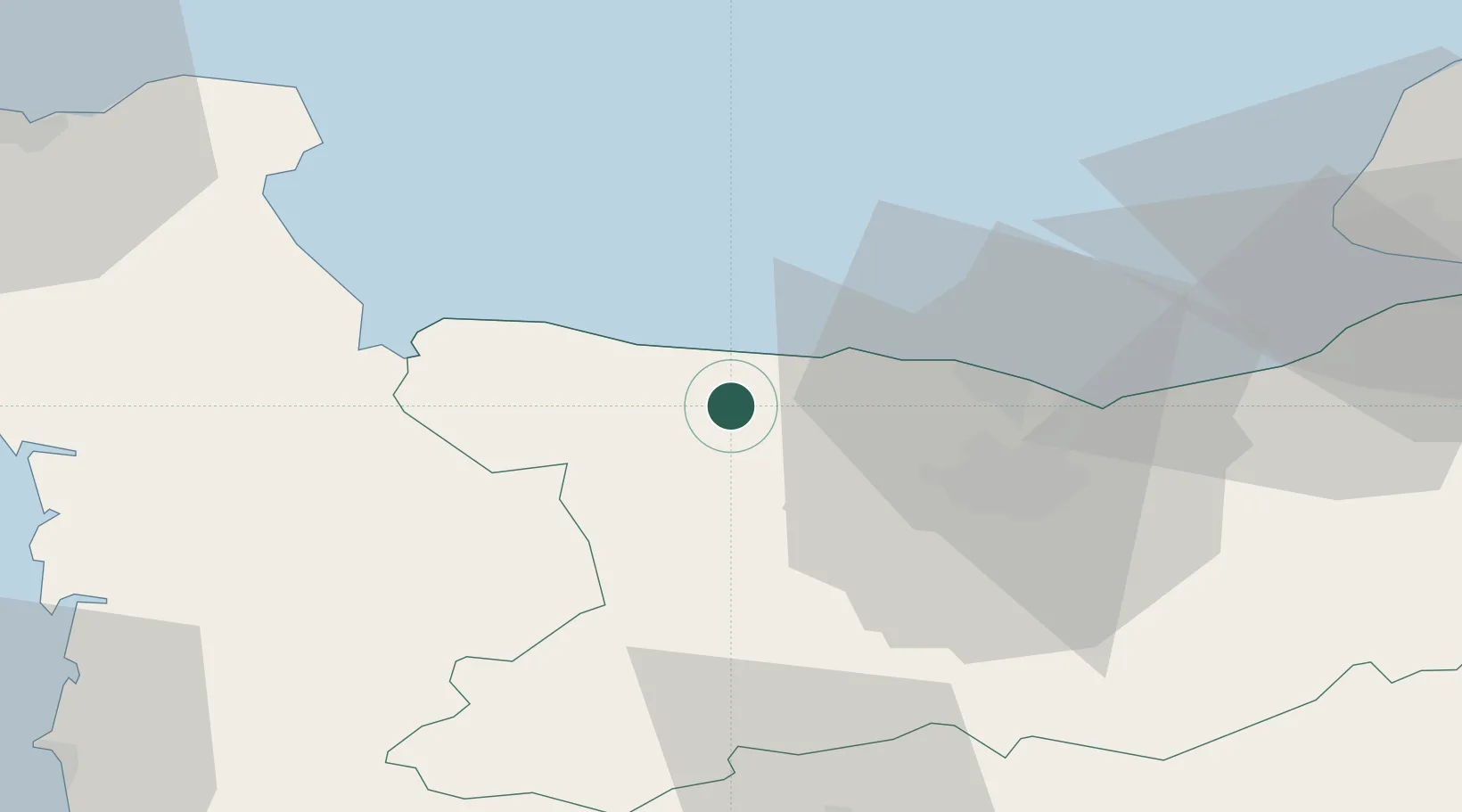
Normandy
Population
15,963
Time zone
Europe/Paris
Elevation
52 m
Location
Nearby Logistics Neighbours
Cities
- 1Arromanches-les-Bains8 km
- 2Port-en-Bessin-Huppain8 km
- 3Asnelles10 km
- 4Brouay12 km
- 5Ver-sur-Mer13 km
Ports
- 1Port De Caen28 km
- 2Ouistreham33 km
- 3Deauville58 km
- 4Port Of Le Havre63 km
- 5Honfleur68 km
Airports
- 1Caen Carpiquet airport21 km
- 2Deauville Normandie airport63 km
- 3Le Havre-Octeville Airport64 km
- 4Cherbourg Manche airport69 km
- 5Granville Airport77 km
Trade Zones
- 1ZFU La Guérinière, La Grâce de Dieu24 km
- 2ZFU Hérouville-Saint-Clair27 km
- 3ZFU Le Havre64 km
- 4ZFU Cherbourg-Octeville81 km
- 5ZFU Alençon111 km
DatabookThe Record of Consolidated Knowledge
France beyond logistics?