Transport Functions
Rail
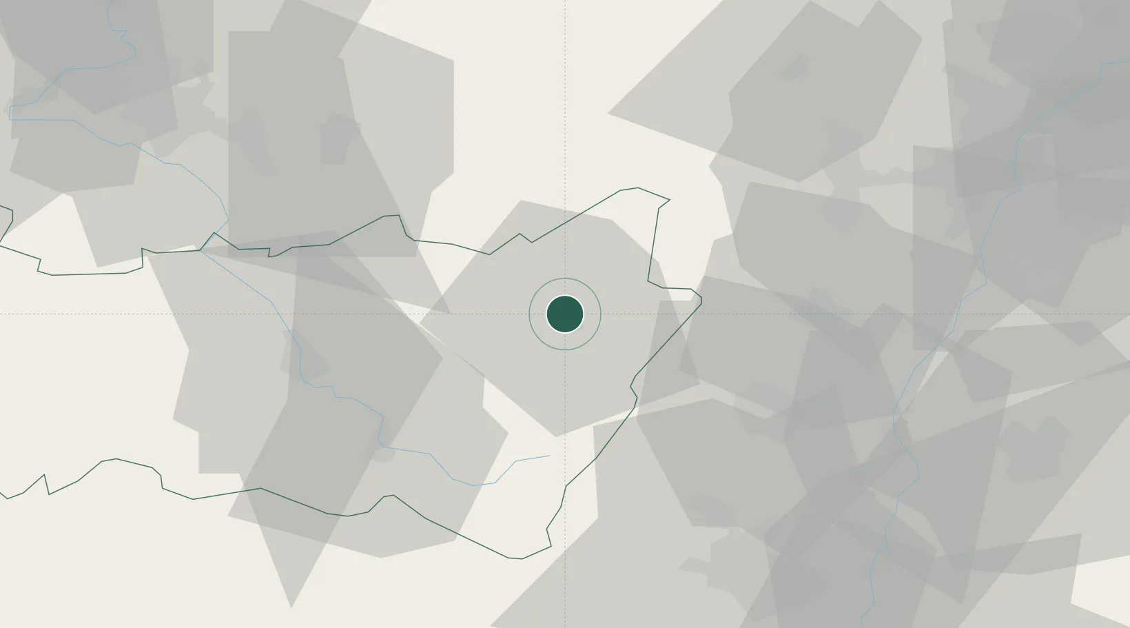
Hub Profile
Region
88
Location
Nearby Logistics Neighbours
Cities
- 1Saulcy-sur-Meurthe6 km
- 2La Croix-aux-Mines11 km
- 3Lachapelle19 km
- 4Granges-sur-Vologne19 km
- 5Bertrichamps20 km
Airports
- 1Colmar Houssen airport36 km
- 2Phalsbourg-Bourscheid Air Base57 km
- 3Strasbourg Airport58 km
- 4Épinal Mirecourt Airport65 km
- 5Lahr Airport66 km
Trade Zones
- 1ZFU Hautepierre65 km
- 2ZFU Mulhouse66 km
- 3ZFU Neuhof67 km
- 4ZFU Belfort72 km
- 5ZFU Maxéville, Laxou, et de Nancy75 km
DatabookThe Record of Consolidated Knowledge
France beyond logistics?