Medium airport · France

Épinal Mirecourt AirportLFSG

48.3250°, 6.0700°
8,858 ft
Longest runway
1
Runways
1,084 ft
Elevation

Runway & Layout

Épinal Mirecourt Airport runway & taxiway layout
Runway & taxiway layout — OpenStreetMap (ODbL) / OurAirports

Radio Frequencies

APP
127.25 MHz
LORRAINE APP
AFIS
120.2 MHz
AFIS EPINAL INFO
OurAirports

Navaids

EPL VOR Epinal 113.00 MHz
OurAirports

Runways · 1

RunwayDimensions SurfaceTrue headingLit
08/26 8,858 × 148ft Concrete 085°
OurAirports

Airport Specifications

IATA code
EPL
OurAirports
ICAO code
LFSG
OurAirports
Airport class
Medium airport
OurAirports
Scheduled service
No
OurAirports
Runway surface
Concrete
OurAirports
Served city
Épinal
OurAirports

Location

Location of LFSG
Natural Earth 10m (public domain) · Vosges · LFSG · 48.33, 6.07GoogleOSMYandex

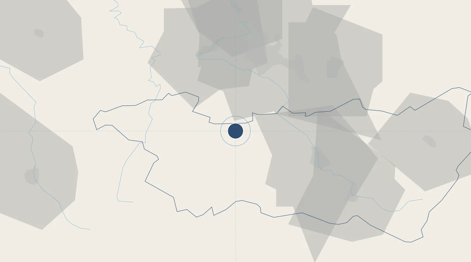
Nearby Logistics Neighbours

Airports
  1. 1Nancy-Ochey (BA 133) Air Base30 km
  2. 2Nancy-Essey Airport43 km
  3. 3Luxeuil-Saint-Sauveur (BA 116) Air Base63 km
  4. 4Metz-Nancy-Lorraine Airport74 km
  5. 5Vesoul-Frotey Airfield77 km
Nearest neighbours — logibook spatial index (haversine) over the source coordinates
Cities
  1. 1Mirecourt5 km
  2. 2Hymont9 km
  3. 3Charmes16 km
  4. 4Vittel17 km
  5. 5Châtenois18 km
Nearest neighbours — logibook spatial index (haversine) over the source coordinates
Ports
  1. 1Bruxelles309 km
  2. 2Antwerpen343 km
  3. 3Ghent348 km
  4. 4Terneuzen373 km
  5. 5Hansweert378 km
Nearest neighbours — logibook spatial index (haversine) over the source coordinates
Trade Zones
  1. 1ZFU Maxéville, Laxou, et de Nancy43 km
  2. 2ZFU Metz87 km
  3. 3ZFU Woippy-Metz92 km
  4. 4ZFU Belfort93 km
  5. 5ZFU Saint-Dizier95 km
Nearest neighbours — logibook spatial index (haversine) over the source coordinates
DatabookThe Record of Consolidated Knowledge
France beyond logistics?
Browse databook

All Sources

AirportsOurAirports
Public domain
Portsthe NGA World Port Index
Public domain (US gov)
LocationsUN/LOCODE
UN/LOCODE — free
Trade Zonesthe World Bank SEZ database
CC BY 4.0
Trade ZonesOpen Zone Map
CC BY
InfrastructureOpenStreetMap
ODbL 1.0
← France airports