UN/LOCODE hub · France
FRZEO
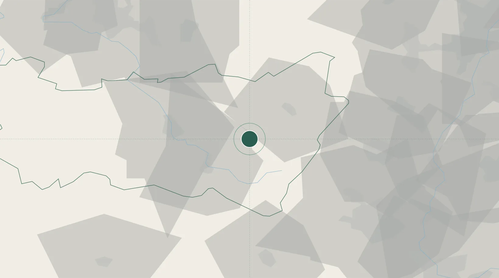
Granges-sur-Vologne
48.1500°, 6.7833°
2,492
Population
1
Transport functions
Transport Functions
Multimodal
Hub Profile
Place type
Populated place
Region
Grand Est
Population
2,492
Time zone
Europe/Paris
Elevation
498 m
Location
Nearby Logistics Neighbours
Cities
- 1Laval-sur-Vologne8 km
- 2Saulcy-sur-Meurthe16 km
- 3La Bresse18 km
- 4Saint-Dié19 km
- 5Dommartin-lès-Remiremont19 km
Airports
Trade Zones
- 1ZFU Belfort56 km
- 2ZFU Mulhouse61 km
- 3ZFU Montbéliard72 km
- 4ZFU Maxéville, Laxou, et de Nancy77 km
- 5ZFU Hautepierre83 km
DatabookThe Record of Consolidated Knowledge
France beyond logistics?