Transport Functions
Multimodal
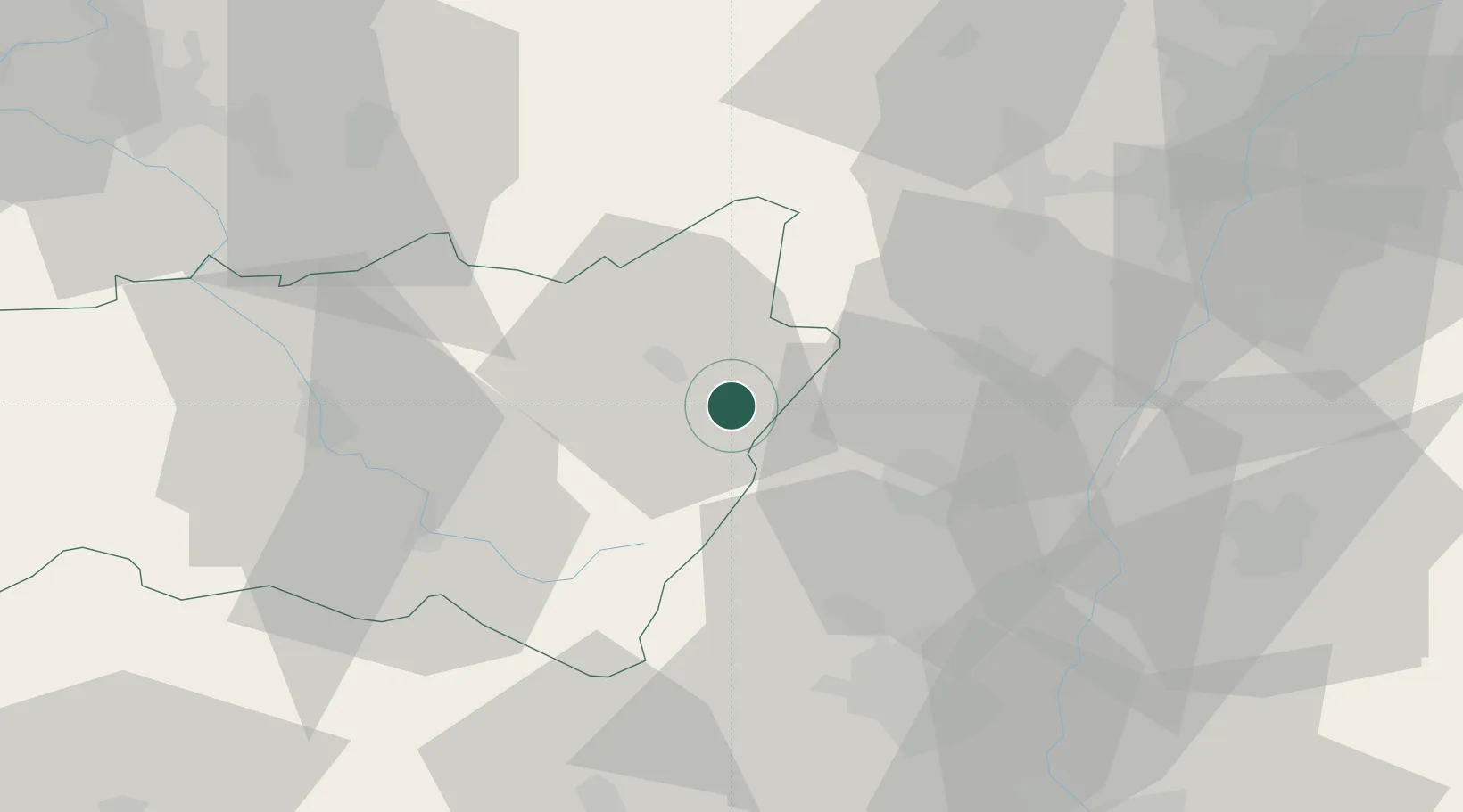
Hub Profile
Place type
Populated place
Region
Grand Est
Population
584
Time zone
Europe/Paris
Elevation
484 m
Location
Nearby Logistics Neighbours
Cities
- 1Saulcy-sur-Meurthe6 km
- 2Saint-Dié11 km
- 3Burnhaupt-le-Bas16 km
- 4Munster20 km
- 5Hunawihr21 km
Airports
Trade Zones
- 1ZFU Mulhouse56 km
- 2ZFU Hautepierre63 km
- 3ZFU Neuhof64 km
- 4ZFU Belfort66 km
- 5ZFU Montbéliard82 km
DatabookThe Record of Consolidated Knowledge
France beyond logistics?