UN/LOCODE hub · France
FRSCY

Saint-Cyprien/Toulouse

43.6000°, 1.4333°
1
Transport functions

Transport Functions

Rail
UN/LOCODE

Hub Profile

Region
31
GeoNames

Location

Location of FRSCY
Natural Earth 10m (public domain) · 31 · FRSCY · 43.60, 1.43GoogleOSMYandex

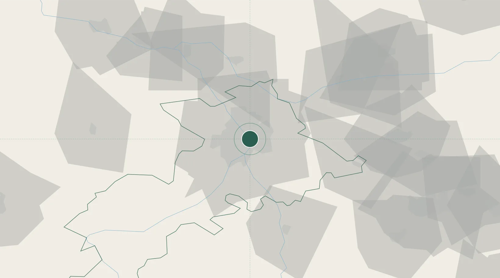
Nearby Logistics Neighbours

Cities
  1. 1Lardenne4 km
  2. 2L'Union6 km
  3. 3Beauzelle8 km
  4. 4Auzeville-Tolosane8 km
  5. 5Portet-Saint-Simon8 km
Nearest neighbours — logibook spatial index (haversine) over the source coordinates
Ports
  1. 1Port-La-Nouvelle147 km
  2. 2Port-Vendres182 km
  3. 3Sete184 km
  4. 4Rosas206 km
  5. 5Bordeaux213 km
Nearest neighbours — logibook spatial index (haversine) over the source coordinates
Airports
  1. 1Toulouse-Blagnac Airport7 km
  2. 2Toulouse-Francazal (BA 101) Air Base8 km
  3. 3Albi Le Sequestre airport65 km
  4. 4Auch Gers Airfield68 km
  5. 5Castres Mazamet Airport69 km
Nearest neighbours — logibook spatial index (haversine) over the source coordinates
Trade Zones
  1. 1ZFU Toulouse1 km
  2. 2ZFU Béziers147 km
  3. 3ZFU Perpignan155 km
  4. 4ZFU Montpellier194 km
  5. 5ZFU Hauts de Garonne211 km
Nearest neighbours — logibook spatial index (haversine) over the source coordinates
DatabookThe Record of Consolidated Knowledge
France beyond logistics?
Browse databook

All Sources

LocationsUN/LOCODE
UN/LOCODE — free
Portsthe NGA World Port Index
Public domain (US gov)
AirportsOurAirports
Public domain
Trade Zonesthe World Bank SEZ database
CC BY 4.0
Trade ZonesOpen Zone Map
CC BY
← France locations