Seaport · France

BordeauxFRBOD

44.8667°, -0.5667°
12.5 m
Channel depth
14.1
Port liner connectivity
Bordeaux is also a UN/LOCODE logistics hub →

Channel & Berth Profile

SEA LEVEL (CD)CHANNEL BEDCargo pier · 7.9 mAnchorage · 9.4 mChannel · 12.5 m
NGA World Port Index

Pilotage, Tugs & Services

Pilotage compulsoryYES
Pilotage advisableYES
Tug assistanceYES
Potable waterYES
Diesel bunkersYES
MedicalYES
Garbage disposalYES
NGA World Port Index

Facilities & Capabilities

Container
Ro-Ro
Liquid bulk
Dry bulk
Oil terminal
Break bulk
Dry dockNO
RepairsNO
BunkeringYES
Rail linkYES
Dangerous cargo
ISPS security
NGA World Port Index

Harbour Specifications

Harbour size
Large
NGA World Port Index
Harbour type
River (Tide Gates)
NGA World Port Index
Shelter
Excellent
NGA World Port Index
Water body
Bay of Biscay; North Atlantic Ocean
NGA World Port Index
Overhead limit
Yes
NGA World Port Index
Pilotage
Yes
NGA World Port Index

Liner Connectivity

14.1
PLSCI

Port Liner Shipping Connectivity Index for Bordeaux, as published by UNCTAD for the latest available quarter. Higher values indicate stronger scheduled liner-shipping integration.

Shown relative to the highest per-port PLSCI in the dataset (1,657.9).
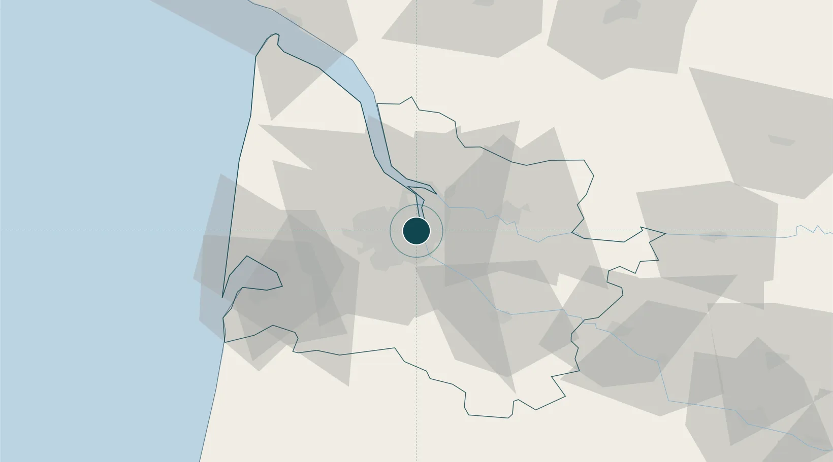
UNCTAD · Port Liner Shipping Connectivity Index

Location

Location of FRBOD
Natural Earth 10m (public domain) · Gironde · FRBOD · 44.87, -0.57GoogleOSMYandex

Nearby Logistics Neighbours

Ports
  1. 1Ambes17 km
  2. 2Blaye31 km
  3. 3Pauillac40 km
  4. 4Le Verdon85 km
  5. 5Tonnay Charente121 km
Nearest neighbours — logibook spatial index (haversine) over the source coordinates
Cities
  1. 1la Bastide/Bordeaux2 km
  2. 2Cenon3 km
  3. 3Le Bouscat4 km
  4. 4Ambarès-et-Lagrave4 km
  5. 5Bruges4 km
Nearest neighbours — logibook spatial index (haversine) over the source coordinates
Airports
  1. 1Bordeaux–Mérignac Airport13 km
  2. 2Aérodrome d'Arcachon-La Teste-de-Buch52 km
  3. 3Cazaux (BA 120) Air Base58 km
  4. 4Bergerac Dordogne-Périgord airport86 km
  5. 5Cognac-Châteaubernard (BA 709) Air Base90 km
Nearest neighbours — logibook spatial index (haversine) over the source coordinates
Trade Zones
  1. 1ZFU Hauts de Garonne4 km
  2. 2Port de Bordeaux5 km
  3. 3ZFU La Rochelle153 km
  4. 4Depósito Franco de Pasajes (Guipúzcoa)203 km
  5. 5ZFU Toulouse213 km
Nearest neighbours — logibook spatial index (haversine) over the source coordinates
DatabookThe Record of Consolidated Knowledge
France beyond logistics?
Browse databook

All Sources

Portsthe NGA World Port Index
Public domain (US gov)
Logistics performanceUNCTAD
CC BY 3.0 IGO
AirportsOurAirports
Public domain
LocationsUN/LOCODE
UN/LOCODE — free
Trade Zonesthe World Bank SEZ database
CC BY 4.0
Trade ZonesOpen Zone Map
CC BY
← France ports