Medium airport · France

Castres Mazamet AirportLFCK
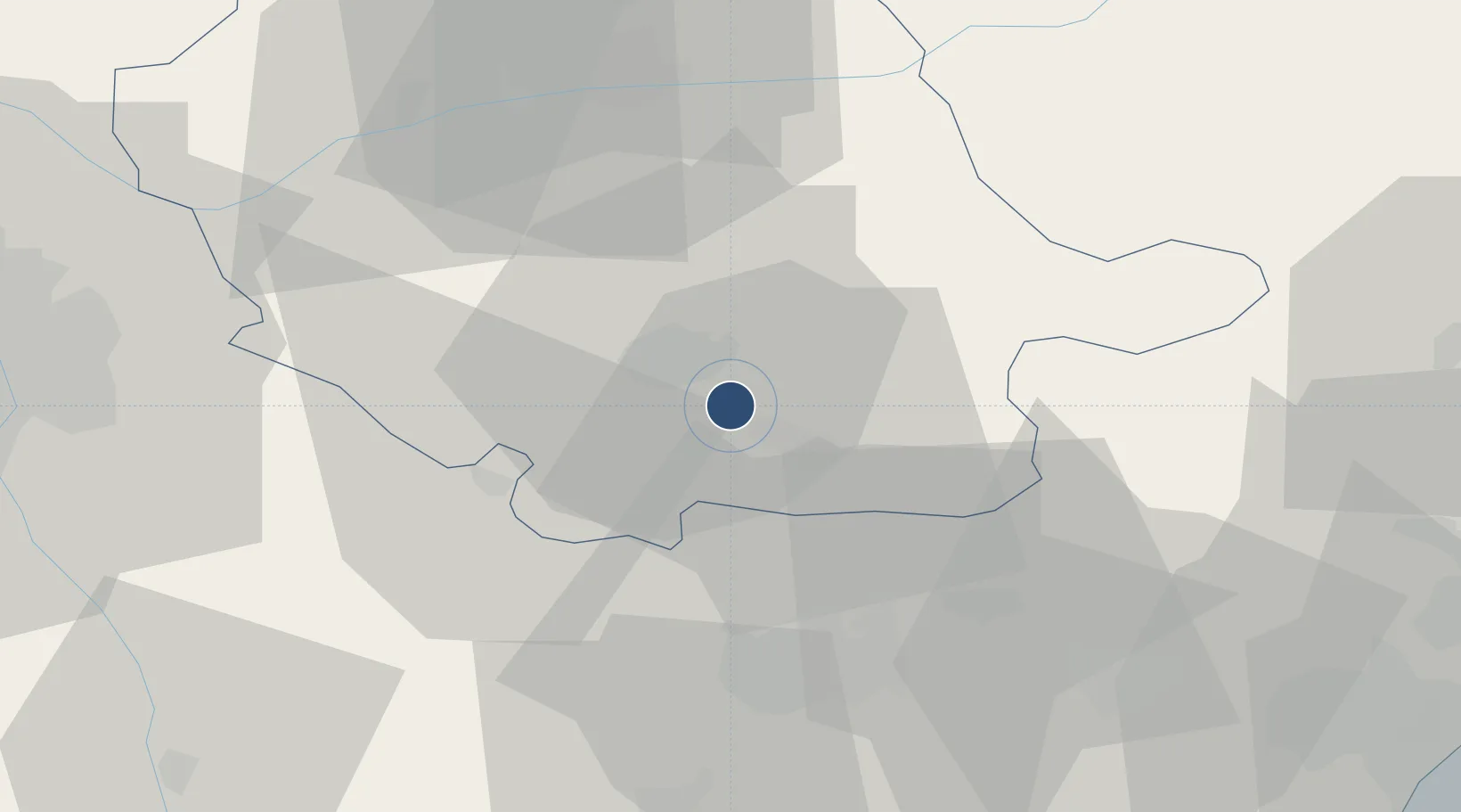
43.5563°, 2.2892°
5,988 ft
Longest runway
1
Runways
788 ft
Elevation

Runway & Layout

Castres Mazamet Airport runway & taxiway layout
Runway & taxiway layout — OpenStreetMap (ODbL) / OurAirports

Radio Frequencies

APP
123.85 MHz
TOULOUSE APP
AFIS
118.5 MHz
CASTRES INFO
OurAirports

Runways · 1

RunwayDimensions SurfaceTrue headingLit
14/32 5,988 × 98ft Concrete 141°
OurAirports

Airport Specifications

IATA code
DCM
OurAirports
ICAO code
LFCK
OurAirports
Airport class
Medium airport
OurAirports
Scheduled service
Yes
OurAirports
Runway surface
Concrete
OurAirports
Served city
Castres
OurAirports

Location

Location of LFCK
Natural Earth 10m (public domain) · Tarn · LFCK · 43.56, 2.29GoogleOSMYandex

Nearby Logistics Neighbours

Airports
  1. 1Carcassonne Salvaza Airport38 km
  2. 2Albi Le Sequestre airport42 km
  3. 3Toulouse-Francazal (BA 101) Air Base74 km
  4. 4Toulouse-Blagnac Airport75 km
  5. 5Béziers Vias airport90 km
Nearest neighbours — logibook spatial index (haversine) over the source coordinates
Cities
  1. 1Mazamet4 km
  2. 2Caucalières5 km
  3. 3Castres7 km
  4. 4Aiguefonde9 km
  5. 5Roquecourbe12 km
Nearest neighbours — logibook spatial index (haversine) over the source coordinates
Ports
  1. 1Port-La-Nouvelle87 km
  2. 2Sete115 km
  3. 3Port-Vendres134 km
  4. 4Rosas161 km
  5. 5Palamos203 km
Nearest neighbours — logibook spatial index (haversine) over the source coordinates
Trade Zones
  1. 1ZFU Toulouse69 km
  2. 2ZFU Béziers79 km
  3. 3ZFU Perpignan107 km
  4. 4ZFU Montpellier126 km
  5. 5ZFU Nîmes168 km
Nearest neighbours — logibook spatial index (haversine) over the source coordinates
DatabookThe Record of Consolidated Knowledge
France beyond logistics?
Browse databook

All Sources

AirportsOurAirports
Public domain
Portsthe NGA World Port Index
Public domain (US gov)
LocationsUN/LOCODE
UN/LOCODE — free
Trade Zonesthe World Bank SEZ database
CC BY 4.0
Trade ZonesOpen Zone Map
CC BY
InfrastructureOpenStreetMap
ODbL 1.0
← France airports