Medium airport · France

Albi Le Sequestre airportLFCI
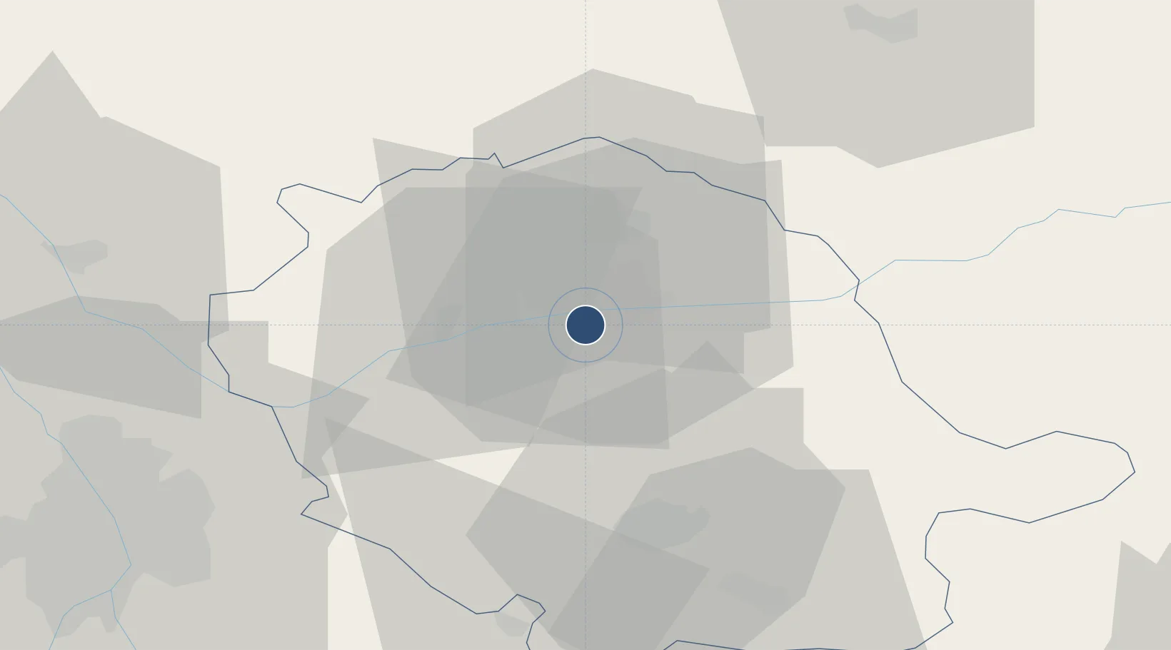
43.9139°, 2.1131°
5,118 ft
Longest runway
1
Runways
564 ft
Elevation

Runway & Layout

Albi Le Sequestre airport runway & taxiway layout
Runway & taxiway layout — OpenStreetMap (ODbL) / OurAirports

Radio Frequencies

APP
123.85 MHz
TOULOUSE APP
AFIS
118.95 MHz
ALBI INFO
OurAirports

Navaids

GAI VOR Gaillac 115.80 MHz
OurAirports

Runways · 1

RunwayDimensions SurfaceTrue headingLit
09/27 5,118 × 98ft Asphalt 090°
OurAirports

Airport Specifications

IATA code
LBI
OurAirports
ICAO code
LFCI
OurAirports
Airport class
Medium airport
OurAirports
Scheduled service
No
OurAirports
Runway surface
Asphalt
OurAirports
Served city
Albi
OurAirports

Location

Location of LFCI
Natural Earth 10m (public domain) · Tarn · LFCI · 43.91, 2.11GoogleOSMYandex

Nearby Logistics Neighbours

Airports
  1. 1Castres Mazamet Airport42 km
  2. 2Rodez–Aveyron Airport62 km
  3. 3Toulouse-Blagnac Airport68 km
  4. 4Cahors Lalbenque airport70 km
  5. 5Toulouse-Francazal (BA 101) Air Base73 km
Nearest neighbours — logibook spatial index (haversine) over the source coordinates
Cities
  1. 1Le Sequestre Apt/Albi2 km
  2. 2Albi4 km
  3. 3Puygouzon5 km
  4. 4Marssac-sur-Tarn6 km
  5. 5Florentin7 km
Nearest neighbours — logibook spatial index (haversine) over the source coordinates
Ports
  1. 1Port-La-Nouvelle126 km
  2. 2Sete140 km
  3. 3Port-Vendres175 km
  4. 4Rosas203 km
  5. 5Port Saint Louis Du Rhone225 km
Nearest neighbours — logibook spatial index (haversine) over the source coordinates
Trade Zones
  1. 1ZFU Toulouse64 km
  2. 2ZFU Béziers110 km
  3. 3ZFU Montpellier143 km
  4. 4ZFU Perpignan149 km
  5. 5ZFU Nîmes179 km
Nearest neighbours — logibook spatial index (haversine) over the source coordinates
DatabookThe Record of Consolidated Knowledge
France beyond logistics?
Browse databook

All Sources

AirportsOurAirports
Public domain
Portsthe NGA World Port Index
Public domain (US gov)
LocationsUN/LOCODE
UN/LOCODE — free
Trade Zonesthe World Bank SEZ database
CC BY 4.0
Trade ZonesOpen Zone Map
CC BY
InfrastructureOpenStreetMap
ODbL 1.0
← France airports